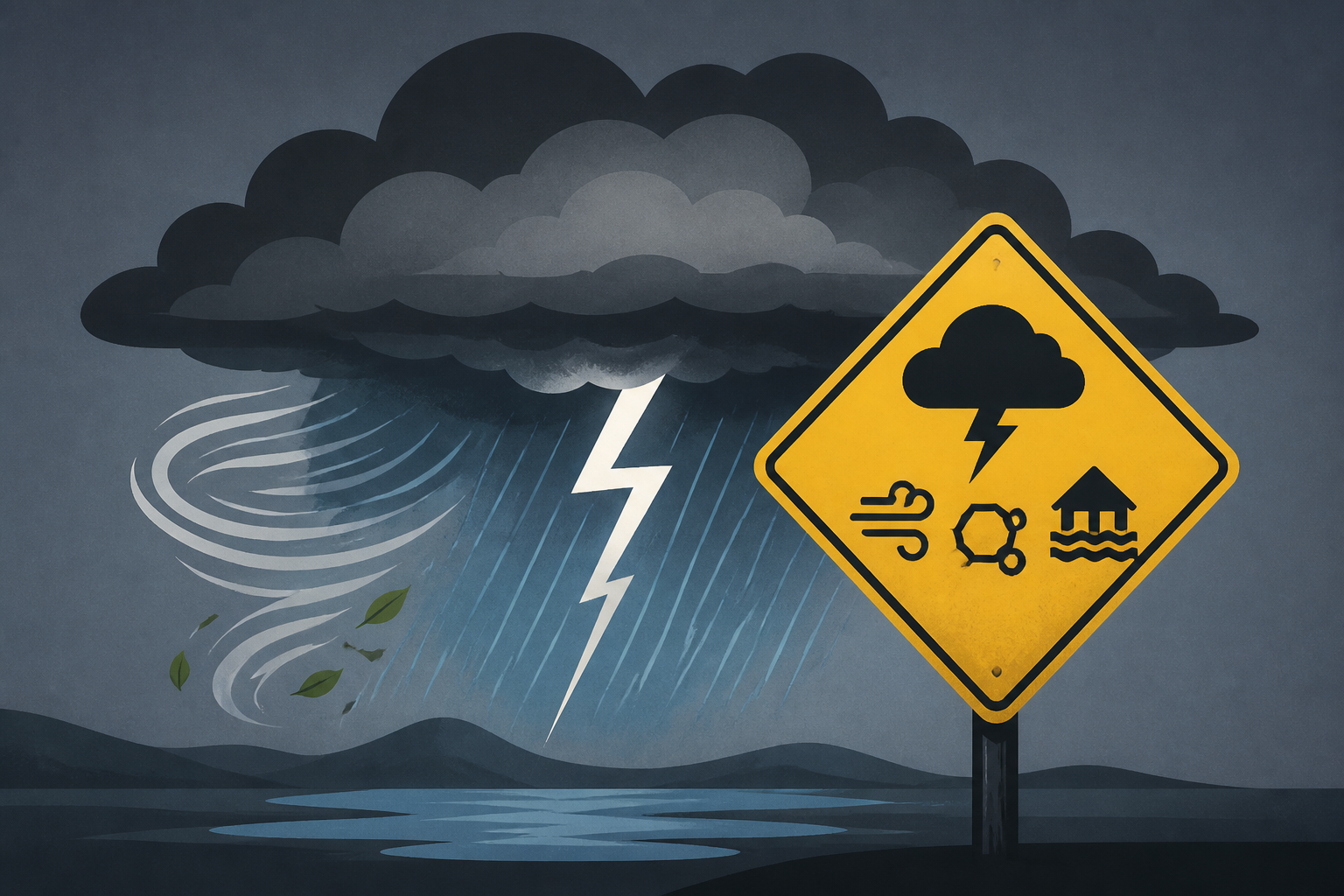
AI Generated Image
Concern increasing for heavy t-storms that may contain wind damage, hail, flash flooding
WSTM • • nation
Key Points:
- A strong weather system is expected to impact Western and Central New York late Wednesday through Wednesday night, bringing thunderstorms with potential wind damage, hail, and possibly more severe conditions.
- Tuesday night will be relatively calm with partly cloudy skies, but high humidity may cause fog and low clouds, especially south and east of Syracuse, creating hazardous driving conditions.
- Residents are advised to exercise caution in fog-prone areas due to reduced visibility and to prepare for the upcoming storm's impacts.
- The combination of warmth, humidity, and atmospheric dynamics is contributing to the heightened risk of severe weather during the midweek period.


