AI Image
El Niño threatens 6 California areas, see the danger zones
New York Post • • general
Key Points:
- A new UC Davis study warns California’s coastline faces heightened flooding and erosion risks this winter due to a combination of a foot of sea-level rise and a potentially record-strong El Niño.
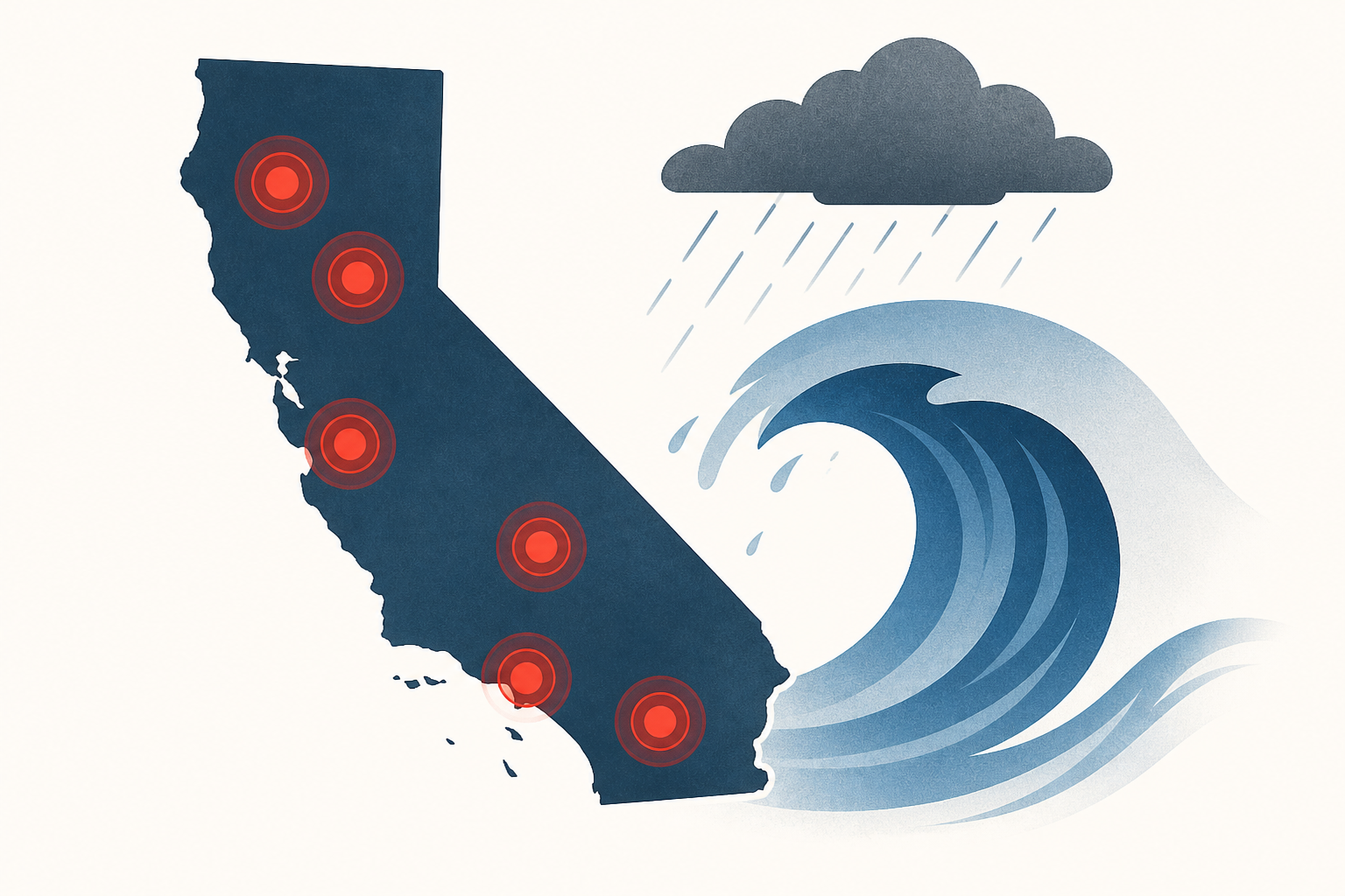
- Six key areas at greatest risk include San Luis Obispo County, Monterey and Santa Cruz coastline, South San Francisco Bay, Marin and North Bay arterials, Stinson Beach, and Humboldt Bay, all vulnerable to beach loss, infrastructure damage, and flooding.
- Critical infrastructure such as highways, residential areas, agricultural fields, marshes, and transportation hubs like San Francisco International Airport and the Bay Bridge are threatened by saltwater flooding and storm surges.
- The study highlights that these impacts were predicted years ago and are now becoming evident, with recent events like the 2019 atmospheric river storms causing significant coastal flooding even during a weak El Niño.
- Researchers caution that elevated sea levels combined with storm surges and runoff will likely cause severe and possibly irreversible damage to beaches and coastal infrastructure across California.


