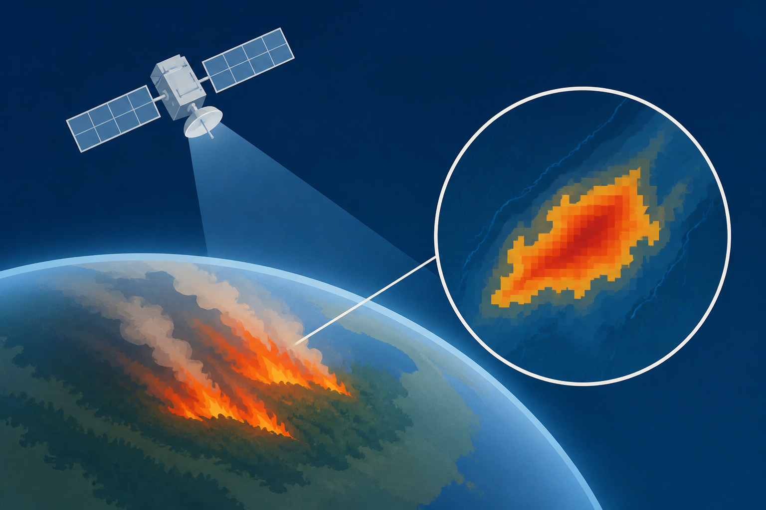
AI Generated Image
Europe's free satellite service just made it easier to track wildfires
Ars Technica • • science
Key Points:
- Europe’s Copernicus Browser has added a new “wildfires” visualization layer for Sentinel-2 satellite imagery, allowing users to easily identify active fires, burning vegetation, and burned landscapes with color-coded indicators.
- The wildfire visualization layer is based on a JavaScript script developed by remote sensing expert Pierre Markuse, which combines multiple spectral bands to differentiate between healthy and burned vegetation and reveal moisture levels in the soil.
- The integration of this script as a default option in Copernicus Browser was advocated by Simon Proud of the European Space Agency, enhancing accessibility for users without manual setup.
- Sentinel-2 imagery offers high-resolution (up to 10 meters) updates every few days, providing more detailed views of wildfires compared to NASA’s FIRMS tool, which has coarser resolution but more frequent updates.
- As climate change intensifies wildfire seasons globally, this improved satellite monitoring tool comes at a critical time, with severe wildfire activity ongoing in regions including the western US, Canada, France, and Spain.


