AI Image
Florida Flooding Map Shows Worst
Newsweek • • nation
Key Points:
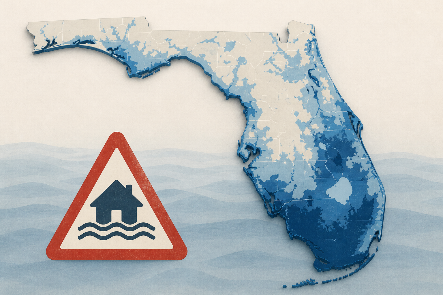
- Historic flooding in east-central Florida has caused major river flooding near Cocoa, with the St. Johns River expected to continue rising northward for several days due to ongoing water flow through the basin.
- Brevard, Volusia, Lake, Seminole, and Clay counties are experiencing flooded homes, impassable roads, and prolonged disruptions, with some areas like west of Cocoa reaching record river levels that threaten residential neighborhoods.
- The St. Johns River near Cocoa stood at 18.7 feet on Friday evening, surpassing the 16-foot flood threshold, while other locations such as Geneva, Deland, Sanford, and Astor are forecasted to reach major flood stages in the coming days.
- Additional rainfall on Saturday could worsen flooding in already saturated areas, and authorities warn motorists to avoid flooded roads due to hidden hazards and unsafe driving conditions.
- River flooding is expected to persist for weeks or months in some areas, with emergency managers focusing on maintaining access to affected communities and monitoring updated river forecasts issued twice daily.


