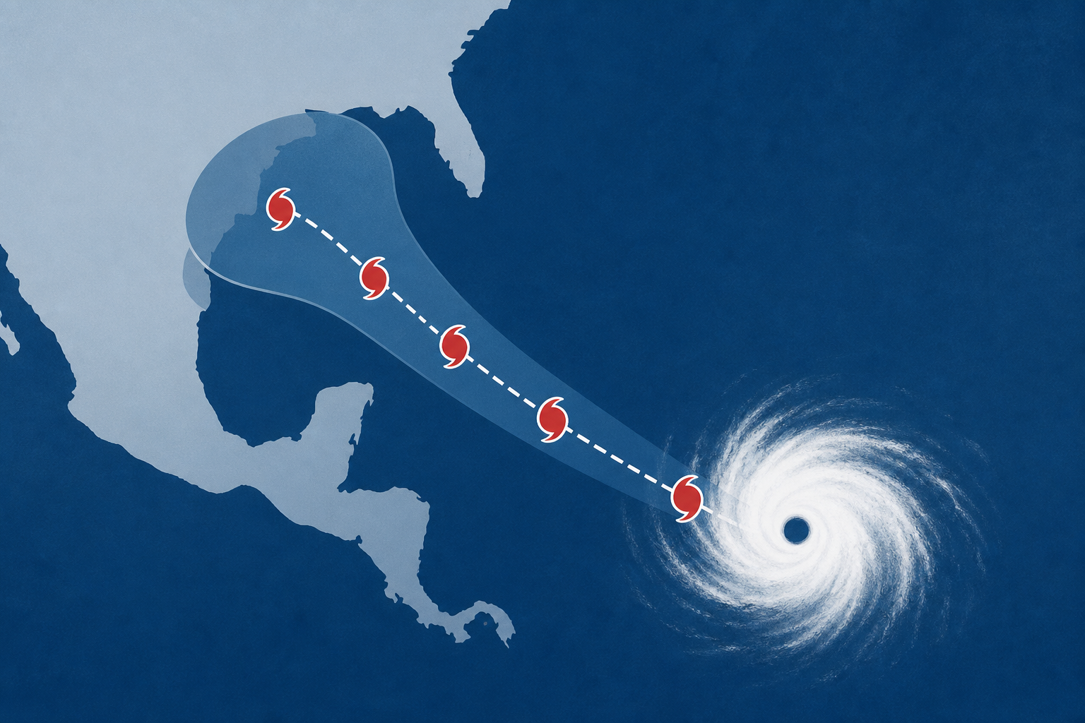
AI Generated Image
LIVE MAP: Track the path of Hurricane Karina
PBS • • nation
Key Points:
- Hurricane Karina has rapidly intensified into a Category 4 storm in the Pacific Ocean, with maximum sustained winds of 145 mph, but it is not threatening land.
- The storm is located about 1,020 miles west-southwest of Baja California and is moving west, fueled by warm waters far offshore.
- No coastal watches or warnings are in effect, though waves may impact Mexico and Southern California, and further strengthening of Karina is possible.
- Tropical Storm Lowell is also active in the Pacific, about 855 miles east-southeast of Hilo, Hawaii, with winds of 60 mph and potential to become a hurricane soon.
- Lowell poses no immediate threat to land but could approach the Hawaiian Islands later this week.


