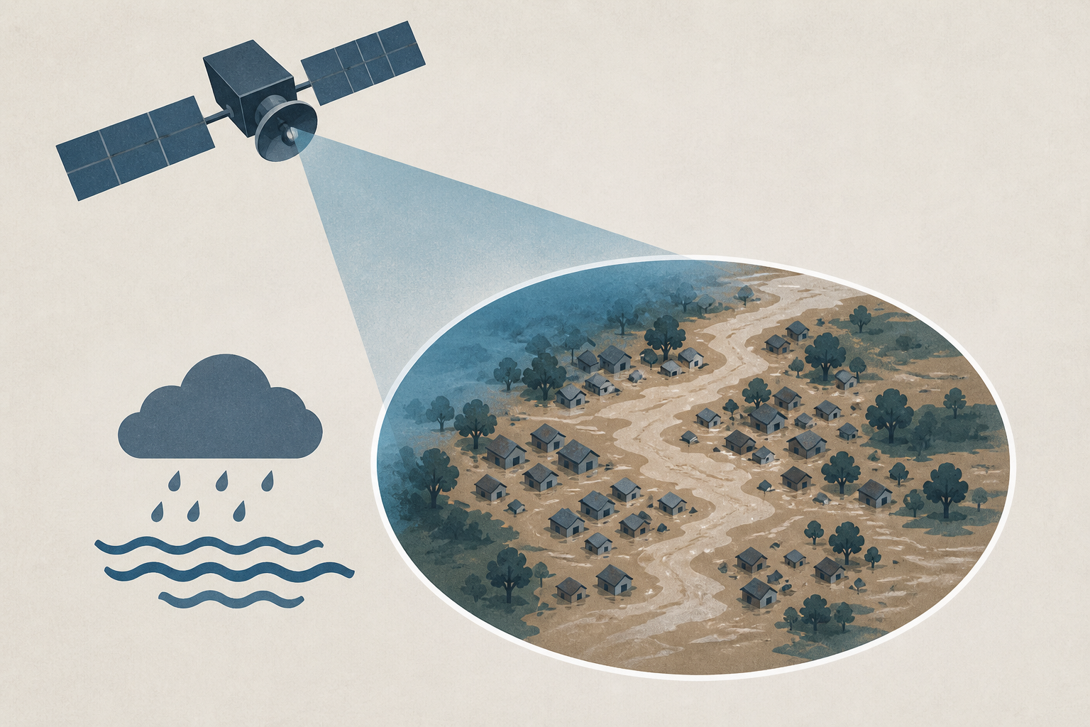
AI Generated Image
Scientists say satellite images show the cause and devastation of Nepal floods
AP News • • world
Key Points:
- Catastrophic flooding along the Nepal-China border killed hundreds and left many missing, including foreigners and pilgrims, following the collapse of a glacier and bedrock near Langtang Lirung peak.
- Satellite imagery revealed a massive bedrock failure that caused a large chunk of glacier to break off, sending debris, boulders, and ice into the valley and devastating villages downstream.
- The Trishuli River surged and widened significantly due to the flooding, carrying large amounts of sediment and submerging towns and villages in mud and debris.
- Experts describe the disaster as the largest glacier flood they have seen, with recovery expected to take many years, and suggest climate change may be contributing to increased instability in high-altitude glaciers and permafrost.
- While a direct link to climate change cannot yet be confirmed, scientists warn that warming trends are likely to increase the frequency of such catastrophic slope failures and glacier collapses.


