AI Generated Image
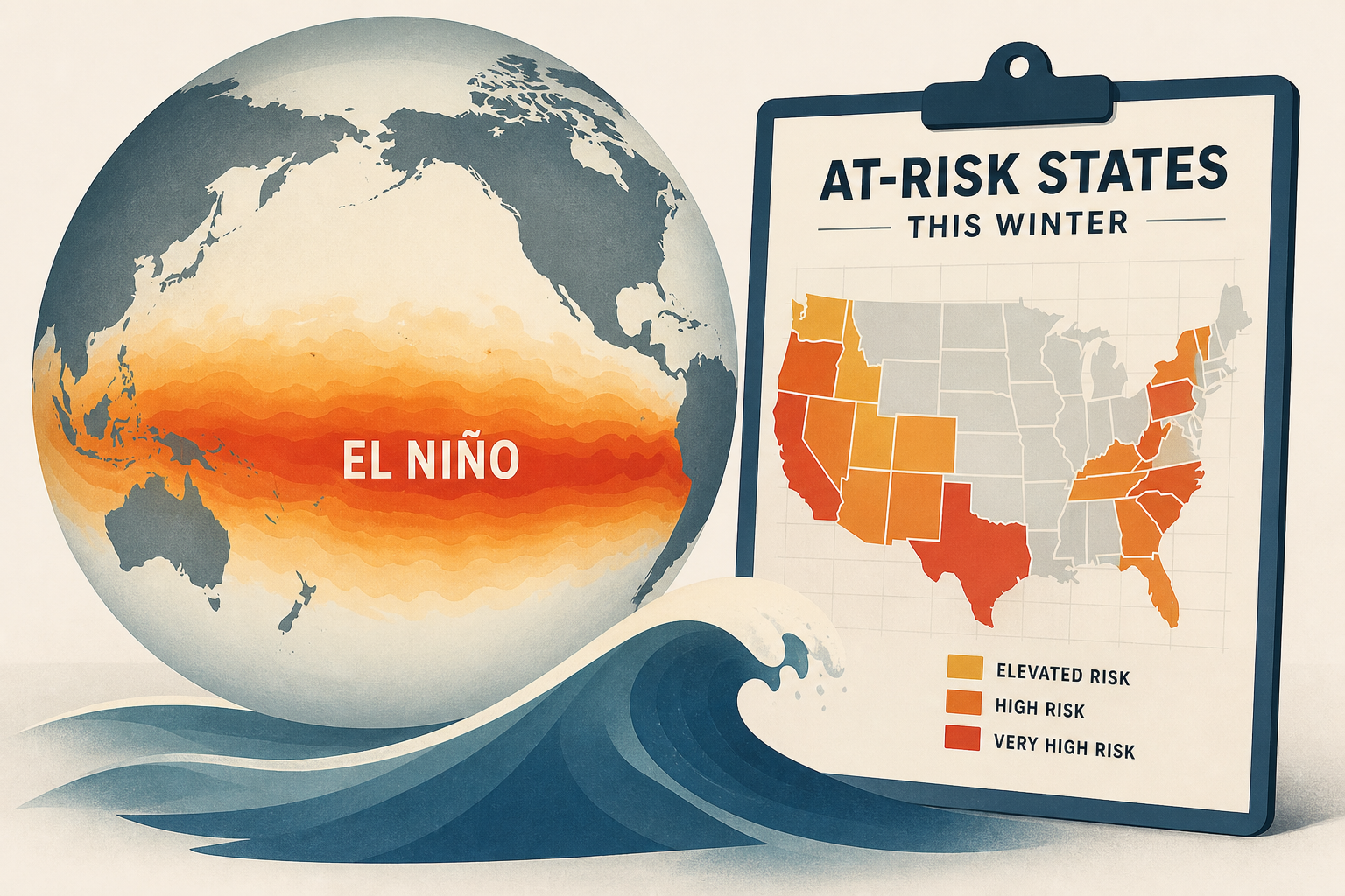
Super El Niño Threat Grows: Map Shows At-Risk States This Winter
Newsweek • • world
Key Points:
- A developing El Niño in the tropical Pacific is forecast to strengthen significantly through 2026, with some models suggesting it could become a rare "super" El Niño, potentially ranking among the strongest on record.
- NOAA reports an 81% chance of a very strong El Niño during October to December 2026, with peak intensity expected in late fall or early winter, influencing global weather patterns by altering jet streams and storm tracks.
- Strong El Niño events typically bring wetter conditions to the southern U.S. and California, with increased risks of heavy rainfall, flooding, and severe storms, including tornadoes in the Deep South and Gulf Coast states.
- States such as California, Florida, Georgia, Alabama, and parts of the Northeast are particularly vulnerable to impacts like heavy rain, snow, and severe weather during El Niño winters, while the northern U.S. and Pacific Northwest may experience warmer, drier conditions.
- Scientists are closely monitoring warm subsurface Pacific waters and atmospheric changes that fuel El Niño’s intensification, with experts emphasizing that the upcoming months are critical for determining the event’s final strength and its implications for the 2026-27 winter season.


