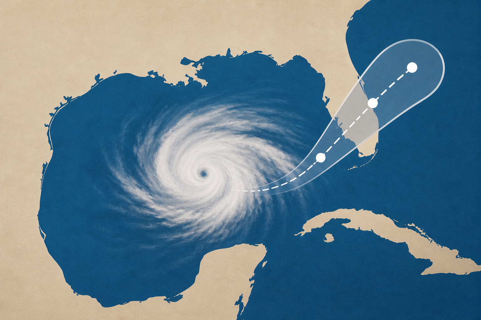
AI Generated Image
Tropical Storm Bertha forms in Gulf. See latest forecast.
USA Today • • nation
Key Points:
- Tropical Storm Bertha was stationary as of the night of July 20, located about 140 miles south of Panama City, Florida, with sustained winds of 40 mph, and is expected to bring tropical storm conditions, heavy rainfall, and coastal flooding to the northern Gulf Coast.
- The storm is forecast to move slowly west-northwestward or westward near the northern Gulf Coast, with potential additional strengthening through July 21, prompting tropical storm and storm surge watches along parts of the Gulf Coast from Alabama to Mississippi.
- Bertha is expected to produce 2 to 4 inches of rainfall, with localized amounts up to 8 inches, raising concerns about flash flooding, especially in urban areas and regions with dry, hard soil that may increase runoff, including parts of Florida, Alabama, Mississippi, Louisiana, and Texas.
- Forecasters advise residents and authorities in Louisiana and Texas to closely monitor the storm, as additional watches or warnings may be issued, particularly given the risk of flooding in Texas Hill Country due to recent significant flooding events.
- Bertha is the second named storm of the 2026 Atlantic hurricane season, which is predicted to be below normal in activity due to El Niño, with an expected 8 to 14 named storms and 3 to 6 hurricanes, compared to an average of 14 storms and 7 hurricanes per year.


