AI Image
What to know about the Kelvin wave raising the sea level along the West Coast
PBS • • nation
Key Points:
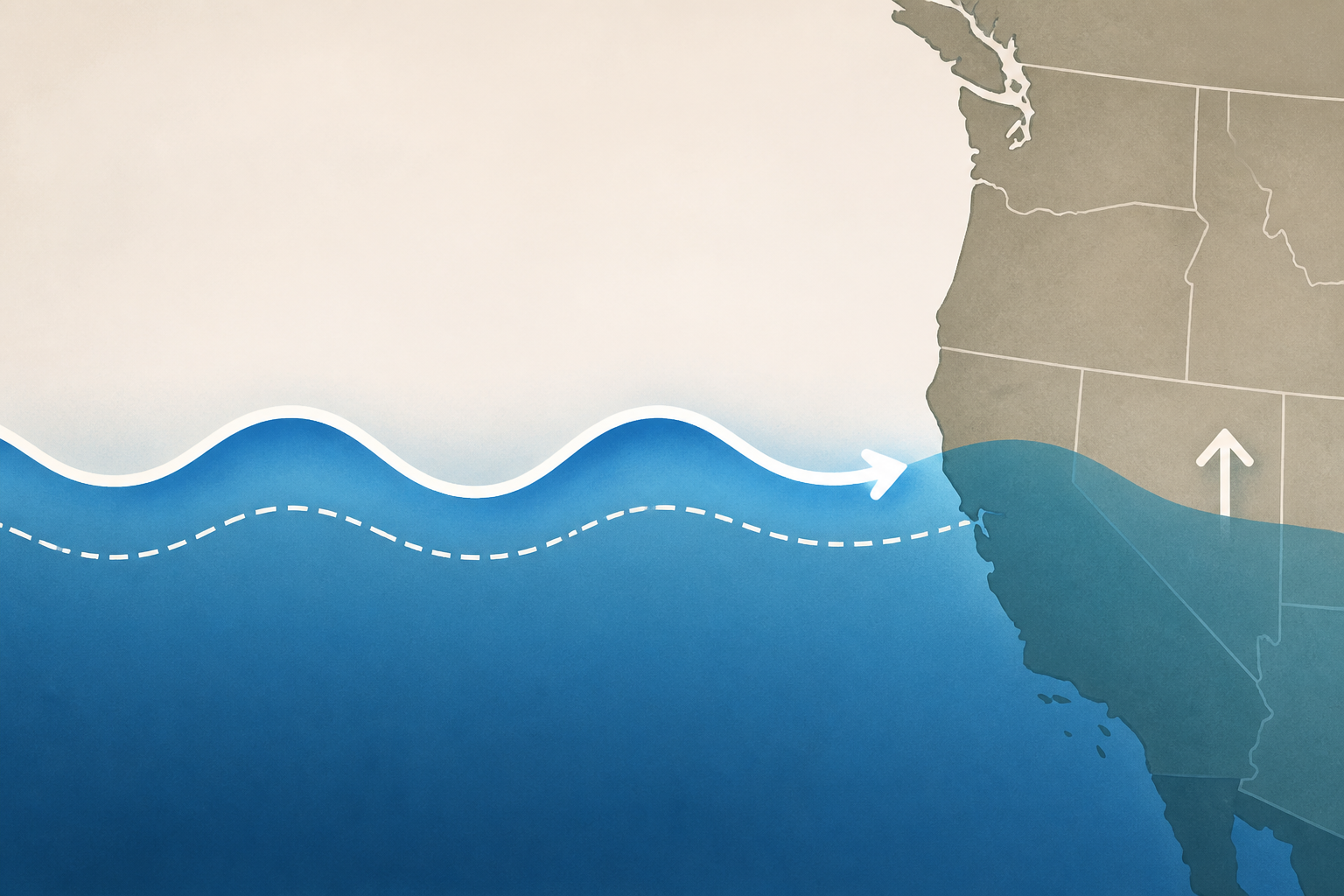
- A 6-inch to foot-tall Kelvin wave surge is moving north along the California coast at about 6 mph, expected to raise sea levels in Oregon and Washington from October through February, amplifying the effects of high tides and storms.
- Kelvin waves, formed during El Niño events when trade winds change direction, push warmer water eastward along the equator and then north and south along the American coasts, raising baseline sea levels and increasing ocean temperatures.
- Higher sea levels from Kelvin waves could worsen coastal erosion, flooding, and infrastructure damage, especially when combined with larger waves and spring tides, as seen in previous major El Niños in 1982-83, 1997-98, and 2015-16.
- California and Washington are preparing for potential impacts; California declared a state of emergency to expedite protective measures, while Washington's Department of Natural Resources is on alert but has not initiated special preparations yet.
- Experts warn that the current El Niño may be one of the largest on record, but the extent of damage from Kelvin waves will depend on the severity of storms and tides this winter.


