AI Image
All Roads Lead to... Istanbul?
Newser • • world
Key Points:
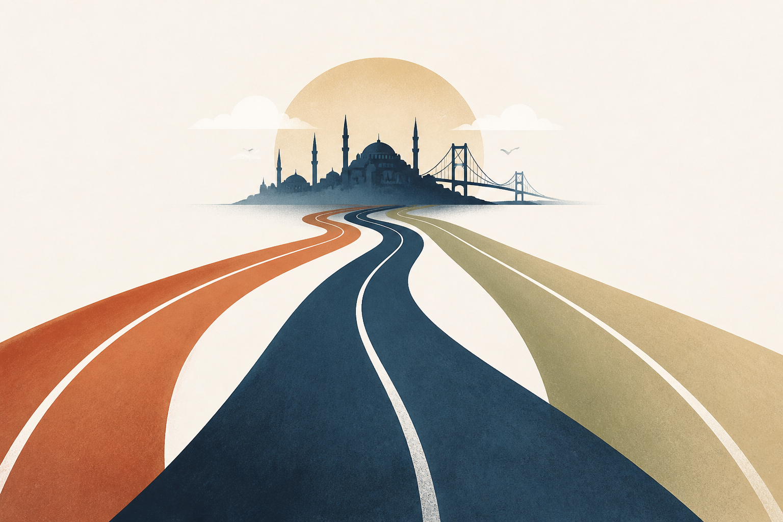
- A new study mapping 190,000 miles of Roman roads reveals that Constantinople (modern Istanbul) was the central hub of the empire's land routes, surpassing Rome in connectivity for overland travel.
- Rome was more central to Mediterranean maritime routes, while the Roman road network often bypassed the city, particularly along the Adriatic coast.
- Provincial centers such as London, Ankara, and Corinth were strategically positioned for efficient movement of officials, soldiers, taxes, and goods across the empire's vast territory.
- The study challenges the notion that Roman roads were always straight, showing that geography influenced road layouts, with straighter routes in flat areas and winding paths in mountainous or riverine regions.
- Many modern highways in Europe and the Near East still follow the routes of ancient Roman roads, demonstrating their lasting impact on travel and trade patterns.


