AI Generated Image
Brutally hot weather through 4th of July in Maryland, risk of storms increases
CBS News • • general
Key Points:
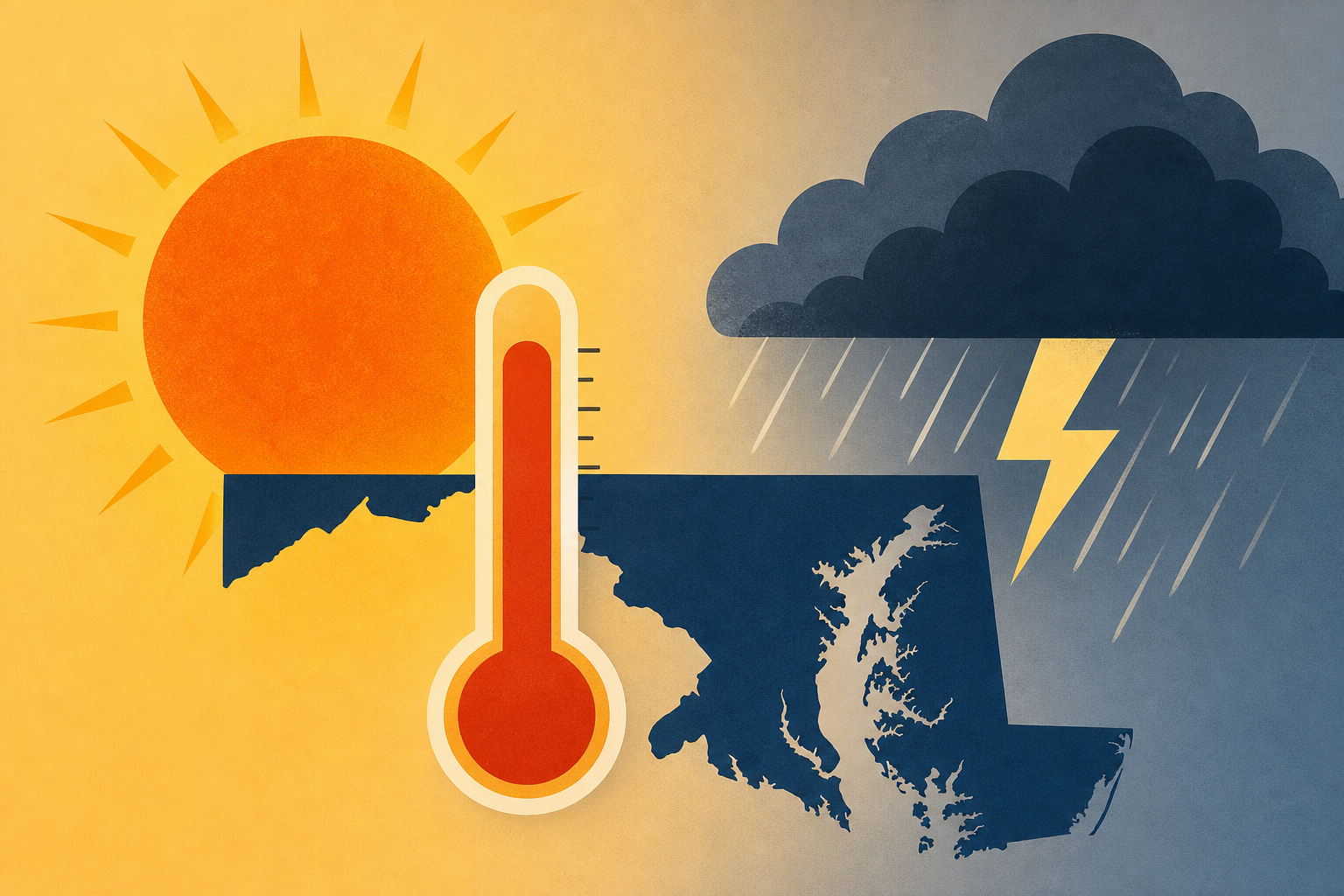
- Extreme heat is affecting the eastern U.S., with Baltimore reaching 100°F Thursday and triple-digit temperatures expected Friday and Saturday, prompting First Alert Weather Days for extreme heat and severe weather risks.
- An Extreme Heat Warning and Air Quality Alert (Code Orange) are in effect Friday and Saturday due to heat indices of 110°-113° and unhealthy air quality, especially for sensitive groups; additional air quality concerns are expected Saturday from ozone, Saharan dust, and fireworks emissions.
- Isolated severe thunderstorms are possible Friday afternoon and evening, with numerous strong-to-severe storms likely Saturday through Monday, leading to First Alert Weather Days for potential travel disruptions and localized wind damage.
- Overnight temperatures will remain high, with lows struggling to drop below 80°F in Baltimore City, increasing heat stress risks; cooling centers will be open in Baltimore during the heat wave.
- The heat wave is expected to ease after July 4th, but scattered severe storms may impact holiday plans, with the greatest storm risk on Saturday afternoon and evening; storms with damaging winds, heavy rain, and lightning may continue through early next week before conditions dry out.


