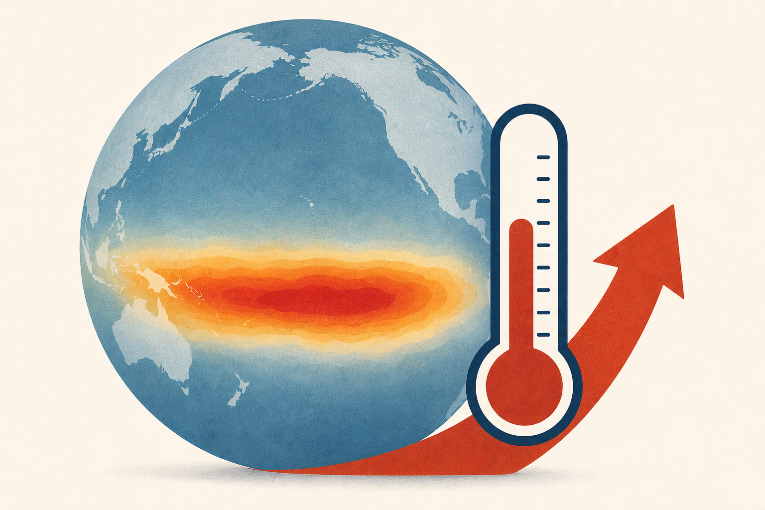
AI Generated Image
El Niño forecast update ups chances of historic climate event
USA Today • • nation
Key Points:
- NOAA's Climate Prediction Center now estimates an 81% chance of a "very strong" El Niño developing by fall 2026, up from 63% in June, with a 97% likelihood it will persist through early spring 2027.
- El Niño is a natural Pacific Ocean temperature cycle that influences global weather patterns, potentially causing droughts, heat waves, heavy rainfall, and reducing Atlantic hurricane activity.
- This strong El Niño event is expected to decrease the number of Atlantic hurricanes in the 2026 season, with forecasts now predicting nine named storms, below the average of 14.
- In the U.S., El Niño typically brings wetter conditions to the southern states, drier weather in the northern Rockies and Ohio and Tennessee valleys, and generally warmer winters in the northern regions.
- The strongest recorded El Niño occurred in the winter of 1982-83, with NOAA's new Relative Oceanic Nino Index measuring a +2.5°C anomaly, highlighting the potential significant impacts of the upcoming event.


