AI Image
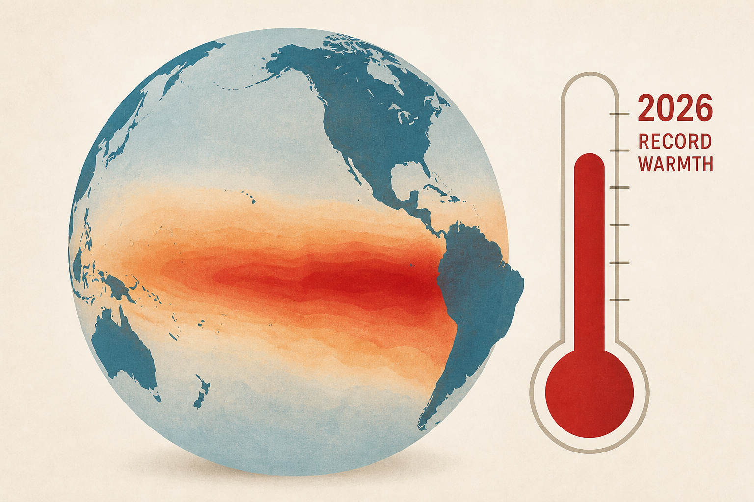
El Niño breaks record eastern Pacific warmth in 2026
Sacramento Bee • • world
Key Points:
- The 2023 El Niño event is exceptionally strong, with sea surface temperatures in the eastern Pacific reaching record highs months earlier than usual, surpassing previous records set in 1997 and 2015.
- This El Niño has already influenced atmospheric conditions, shifting wind patterns and storm activity eastward, contributing to multiple tropical cyclones in the eastern Pacific and increased rainfall in areas like Hawaii and Baja California.
- Climate models predict that El Niño will continue to strengthen into early 2027, with sea surface temperature anomalies expected to exceed previous peak records, supported by a large reservoir of warm water beneath the ocean surface.
- The eastward tilt of this El Niño event is similar to strong past events in 1982-83 and 1997-98, which brought heavy rainfall to California; current forecasts suggest an increased likelihood of a wetter-than-normal winter for much of the state.
- While El Niño increases the probability of heavy precipitation and flooding in California, it does not guarantee widespread flooding, as other atmospheric factors also play a significant role in determining seasonal weather outcomes.


