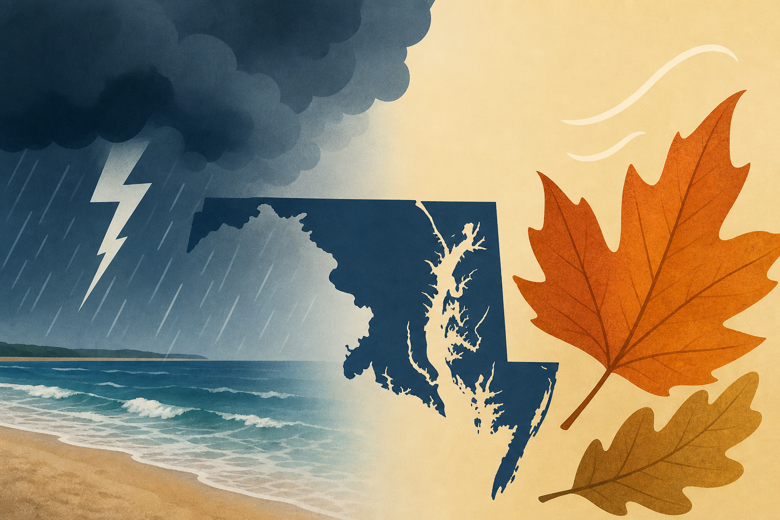
AI Generated Image
July 22 Storm Risk In Southern Maryland And Beaches Then Taste Of Early Autumn
Just In Weather • • nation
Key Points:
- Yesterday's storm outbreak produced numerous tornado warnings but mainly resulted in heavy rainfall, causing local flooding with some areas receiving over 5 inches of rain, while others had less than 0.5 inches, highlighting narrow bands of training storms.
- Today, the storm focus shifts south along a stalled frontal boundary, putting Southern Maryland and the Beaches at risk for storms, while northern zones will experience cooler and drier conditions with a hint of autumn air.
- Tropical Storm Bertha, with 50-mph winds, is expected to pass through or just south of New Orleans today, bringing flooding rainfall, and may reemerge in the Gulf to head toward Houston this weekend.
- The 7-day forecast indicates storm chances mainly in the southern areas today (30%), followed by cooler and mostly sunny conditions with occasional showers and thunderstorms later in the week.
- The report also highlights ongoing community efforts such as the Maryland Trek 13 fundraiser supporting Just In Power Kids, a nonprofit for families facing childhood cancer, and notes the author's personal disclosure about living with dyslexia while maintaining professional meteorology standards.


