AI Image
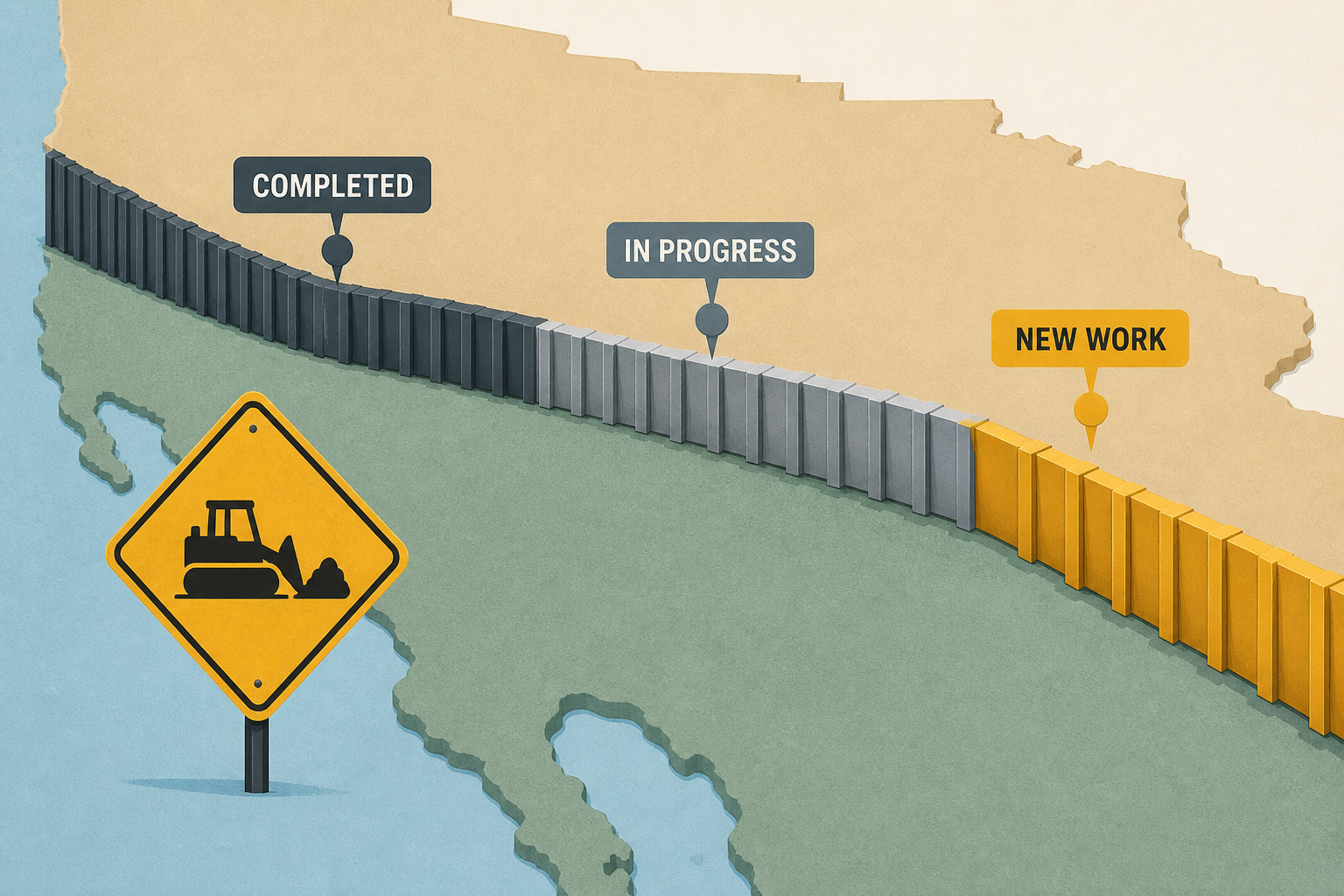
Map Shows Border Wall Progress As New Work Begins
Newsweek • • nation
Key Points:
- The first panels for a 47.3-mile border wall project in Hudspeth County, West Texas, known as Big Bend 1, were installed on September 15 as part of the Trump administration’s expanded southern border barrier efforts.
- U.S. Customs and Border Protection (CBP) is using $46.5 billion from the One Big Beautiful Bill Act to develop the "Smart Wall," which includes a mix of physical barriers, surveillance technology, and patrol infrastructure across rugged and privately owned lands.
- Construction faces legal challenges from landowners disputing eminent domain use and environmental waivers, complicating efforts to build a continuous barrier, with opposition crossing party lines and involving local coalitions and environmental groups.
- CBP’s Smart Wall program includes a variety of barrier types—primary, secondary, vehicle, and waterborne—and extensive technology coverage, with hundreds of miles under construction or completed, but the map reflects a network rather than a single continuous wall.
- Physical walls are not planned inside Big Bend National Park or other protected areas; instead, technology and low-profile barriers will be used, amid public protests and concerns about impacts on cultural, historical, and biological resources.


