AI Image
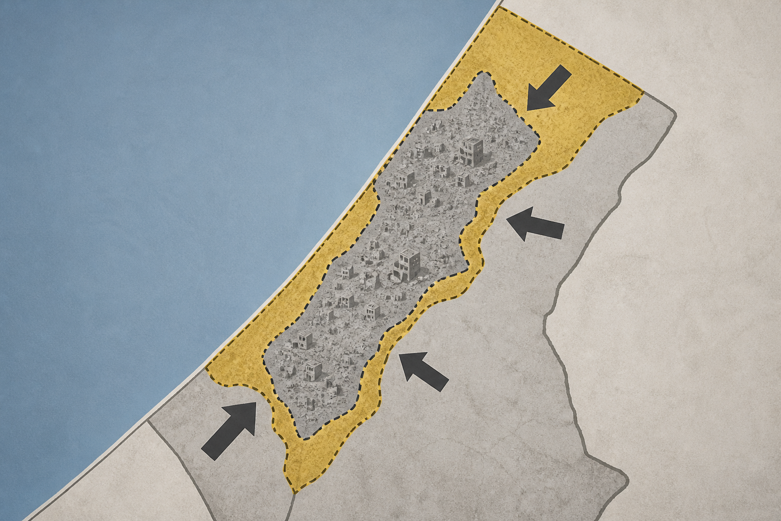
Maps show how Israel’s ‘Yellow Line’ keeps squeezing Palestinians in Gaza
Al Jazeera • • world
Key Points:
- Israel has expanded its military control in the Gaza Strip beyond the US-brokered ‘ceasefire’ line, now controlling nearly two-thirds of the territory and forcing Palestinians into an increasingly confined area.
- The original ‘Yellow Line’, set under former President Trump’s plan, was meant to mark Israeli withdrawal boundaries, but Israeli forces have since pushed this line westward, seizing more land and displacing Palestinian families.
- Gaza’s population density has dramatically increased as Palestinians are confined to about 35 percent of the Strip, with each person now having roughly 61 square meters of space amid widespread destruction and limited access to farmland.
- The ongoing Israeli restrictions and military actions have led to over 90 percent of Gaza’s 2.1 million residents being forcibly displaced, with many living in overcrowded, vulnerable displacement sites prone to flooding.
- Approaching or crossing the shifting ‘Yellow Line’ remains extremely dangerous, as Israel treats areas beyond it as free-fire zones, resulting in nearly 1,500 Palestinian deaths since the ceasefire began.


