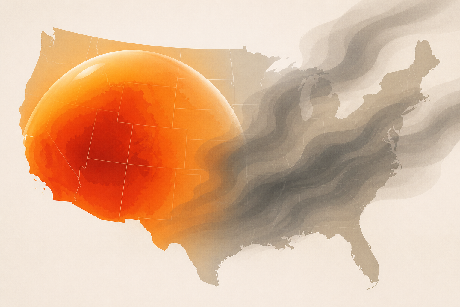
AI Generated Image
Maps show where heat dome and wildfire smoke cover the US
USA Today • • nation
Key Points:
- A heat dome over the Texas Panhandle is expected to push westward across the U.S. this week, causing temperatures to surge into the triple digits, particularly in the Southwest, Oklahoma, Texas, and parts of California.
- The heat dome traps heat over a large area, leading to prolonged high temperatures, increased wildfire risk, and drought conditions across affected regions.
- Wildfire risk will be very high east of the Cascades in Washington and Oregon, northern British Columbia, the Sierras, Great Basin, southern California mountains, and northern Rockies, with potential fire spread into Idaho and Montana by the weekend.
- Wildfire smoke will degrade air quality across the Northwest, Dakotas, Northeast, and parts of the U.S. and Canada, with smoke expected to persist for weeks due to ongoing fires fueled by recent monsoon thunderstorms.
- The National Weather Service warns of dangerous heat levels across the Plains, Mississippi Valley, Southeast, and Desert Southwest, with temperatures possibly reaching 115-120 degrees, emphasizing the importance of recognizing heat-related illness symptoms.


