AI Generated Image
Midwest, East Coast could see damaging winds, flash flooding this week
USA Today • • nation
Key Points:
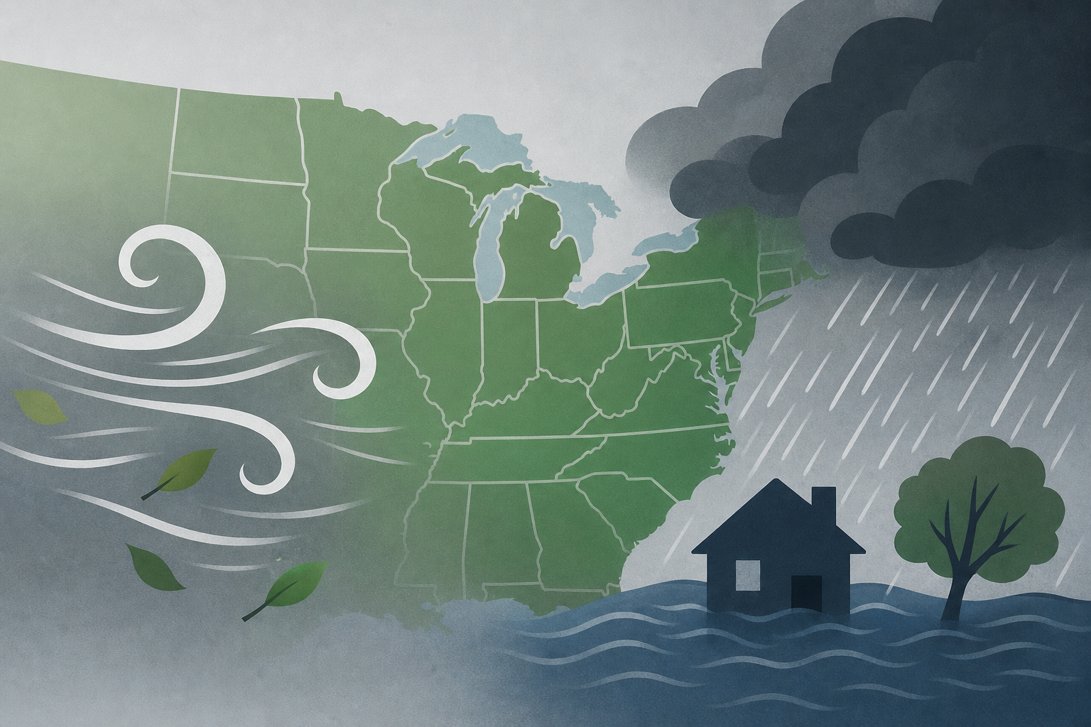
- Widespread thunderstorms with hail and damaging winds are expected to impact the northern U.S. corridor starting Sunday evening, posing risks to Monday evening commutes with heavy rain and flash flooding, especially in the Great Lakes and Ohio Valley regions.
- The storm system, fueled by heat and humidity near a heat dome over the Plains, could produce wind gusts up to 85 mph as it moves southeast through eastern Minnesota, northern Wisconsin, and into the Great Lakes.
- Severe weather including damaging winds, hail, and heavy downpours will extend into the Northeast and mid-Atlantic, particularly affecting travel along the Interstate 95 corridor from New York City to Raleigh, North Carolina.
- Prolonged heavy rains may cause flash flooding from Buffalo to Boston through Tuesday evening, with further severe weather and urban flash flood risks possible in New England by Wednesday.
- Meanwhile, hazardous heat with highs in the upper 90s to lower 100s and heat indices above 105 degrees is forecast across the central and southern U.S., including the Rockies, Plains, Mississippi Valley, and parts of the South.


