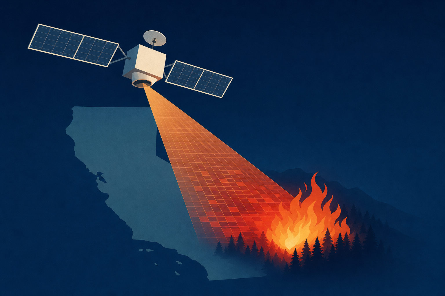
AI Generated Image
New FireSat satellites promise faster California wildfire detection
Los Angeles Times • • science
Key Points:
- A trio of FireSat satellites launching from Vandenberg Space Force Base will enhance wildfire detection and monitoring by providing high-resolution imagery every 20 minutes, improving response times for firefighters and data for scientists globally.
- FireSat, developed by Earth Fire Alliance with $69 million in funding from the Bezos Earth Fund, Google, and the Gordon and Betty Moore Foundation, uses advanced thermal sensors to detect fires as small as a beach bonfire and distinguish between smoldering and flaming fires, aiding in air quality assessment.
- The satellites will deliver detailed fire data to agencies including Cal Fire, Oregon, Texas, Australia, and Portugal fire departments, as well as the Brazilian Amazon Environmental Research Institute, with Cal Fire expected to receive data later this year.
- Compared to existing satellites, FireSat offers significantly better resolution, detecting fires as small as 16 feet across versus 1,230 feet, enabling more precise tracking of fire behavior and aiding emergency responders in making timely decisions.
- While the data promises improvements in wildfire management and prediction, experts caution that integrating satellite information into practical firefighting decisions will take time, though it is expected to enhance wildfire risk models and planning efforts.


