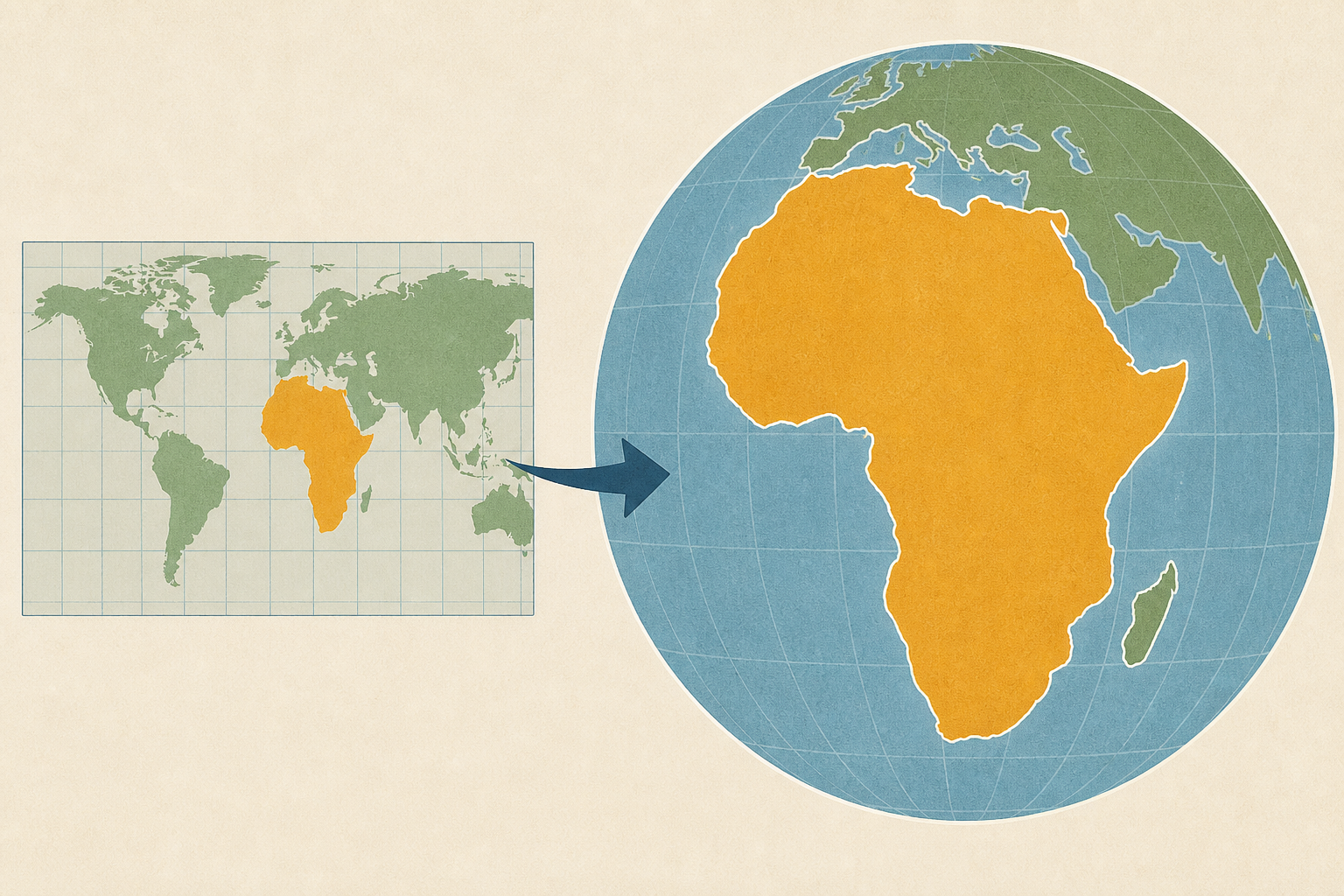
AI Generated Image
New world map makes Africa look bigger: what’s the fuss about? Cartographers explain
The Conversation • • nation
Key Points:
- The UN has endorsed the Equal Earth Projection, a map projection that more accurately represents the true size of Earth's landmasses, minimizing distortions present in the commonly used Mercator projection which exaggerates land size near the poles and diminishes Africa's size.
- The Mercator projection remains useful for navigation due to its ability to maintain accurate compass bearings, which is why it is still widely used in online mapping services like Google Maps.
- The UN resolution promotes the Equal Earth projection as a fairer global map for education and policy, but widespread adoption requires significant updates in textbooks, media, and official use, as map-making is decentralized.
- Resistance to the Equal Earth projection at the UN was limited, with the US casting the only "no" vote, criticizing the proposal as ideological; geopolitical disputes over contested territories also influenced some abstentions.
- African nations advocate for the Equal Earth projection as a form of "cognitive justice," aiming to correct perceptions of Africa's size and importance, thereby supporting the continent's growing economic and political influence globally.


