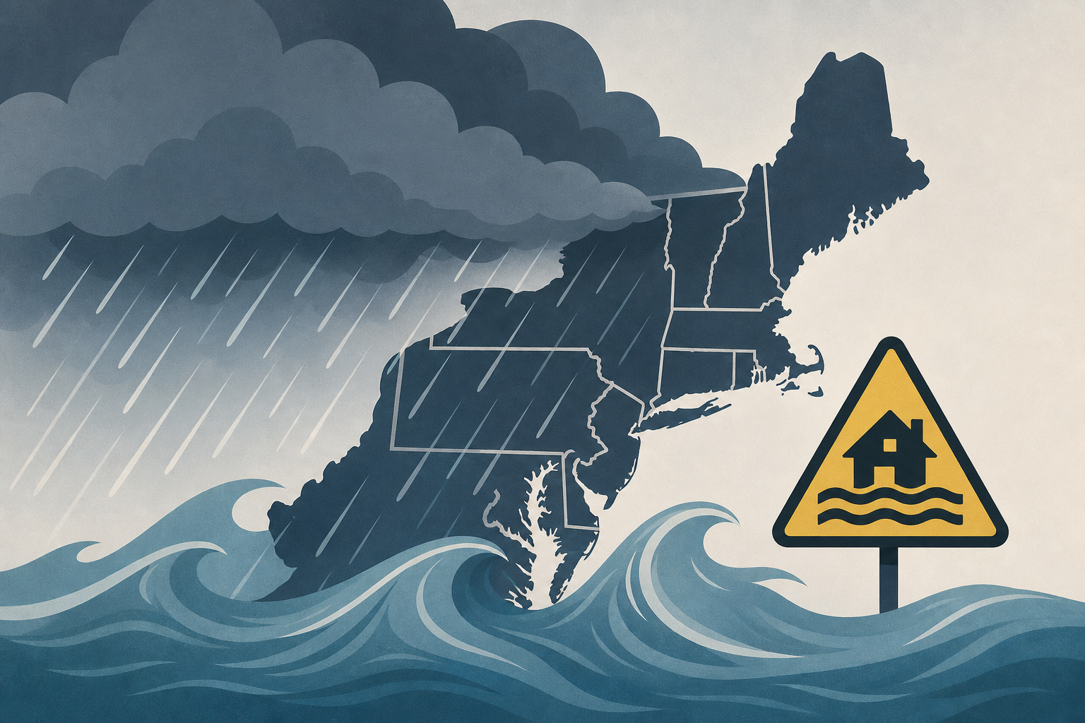
AI Generated Image
Northeast faces flash flood threat from unusually strong storm
CNN • • nation
Key Points:
- An unusually strong storm is expected to bring up to a month’s worth of rain in a few days to parts of the Northeast, raising flash flood concerns from Tuesday through Thursday.
- The storm originates from severe thunderstorms in the Great Lakes and Ohio Valley, where damaging winds and isolated tornadoes, including an "extremely dangerous" tornado in northeast Wisconsin, have already occurred.
- The system will intensify and slow down over the Northeast, fueled by above-average Atlantic and Gulf moisture, leading to multiple rounds of heavy rain and thunderstorms.
- The greatest flood risk is from the New York Tri-state area to Philadelphia on Tuesday, with flash flooding also likely in southern New England by Wednesday, especially in urban and poor drainage areas.
- Total rainfall amounts of 1 to 4 inches are expected through Thursday, with locally higher amounts possible, before the storm weakens and moves out on Friday, though scattered showers may continue.


