AI Generated Image
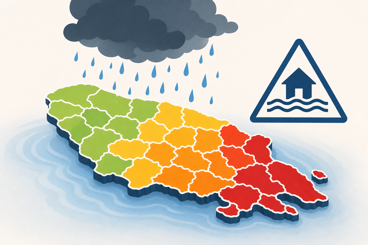
Parish by parish flood threat forecast
WDSU • • nation
Key Points:
- A tropical disturbance named Invest 90-L is expected to bring heavy rain and a prolonged flood threat to Southeast Louisiana and Southern Mississippi throughout the week, with potential development into a tropical depression or the first named storm, Arthur.
- Flood Watches are in effect until 7 a.m. Friday for New Orleans Metro, Northshore, Bayou Parishes, and River Parishes, with rainfall totals ranging from 1.5 to 6 inches, and locally higher amounts possible.
- Heavy rain is already impacting areas such as Slidell, Gentilly, Metairie, and Baton Rouge, with steady rain expected to continue and intensify later in the day due to daytime heating.
- The tropical disturbance is forecasted to move into the Gulf by Tuesday or Wednesday, potentially bringing additional heavy rainfall to Central and Northern Louisiana, as well as Central Mississippi.
- Coastal Parishes are not under a Flood Watch but may experience isolated showers and storms with up to 1.5 inches of rain possible.


