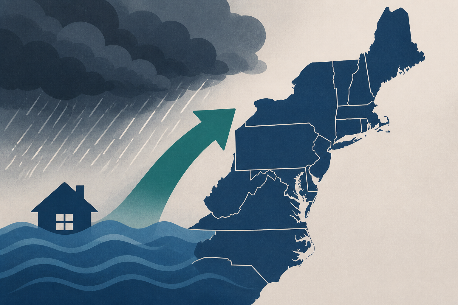
AI Generated Image
Severe weather, flooding threat heading to Northeast on Thursday: Forecast
ABC News - Breaking News, Latest News and Videos • • nation
Key Points:
- More than 38 million people from New York City to Washington, D.C., are expected to face severe weather on Thursday, including flash flooding, damaging winds, large hail, and potential tornadoes.
- The severe weather threat extends across the Northeast, from Syracuse, New York, and Vermont down to Virginia.
- Heavy thunderstorms along the Interstate 95 corridor could produce rainfall rates over 2 inches per hour, with total rain accumulations reaching up to 5 inches in some locations.
- Storms are forecast to begin around 1 p.m. Thursday, continuing in a scattered pattern through the afternoon and evening, with the worst impacting New York City between 1 p.m. and 5 p.m., and Philadelphia and D.C. between 5 p.m. and 8 p.m.
- Flood watches are in effect from noon through the evening for New York City, New York's Hudson Valley, much of New Jersey, and Philadelphia.


