AI Image
Super El Nino: What it is, why it matters, and how it can impact North Carolina weather
WBTV • • world
Key Points:
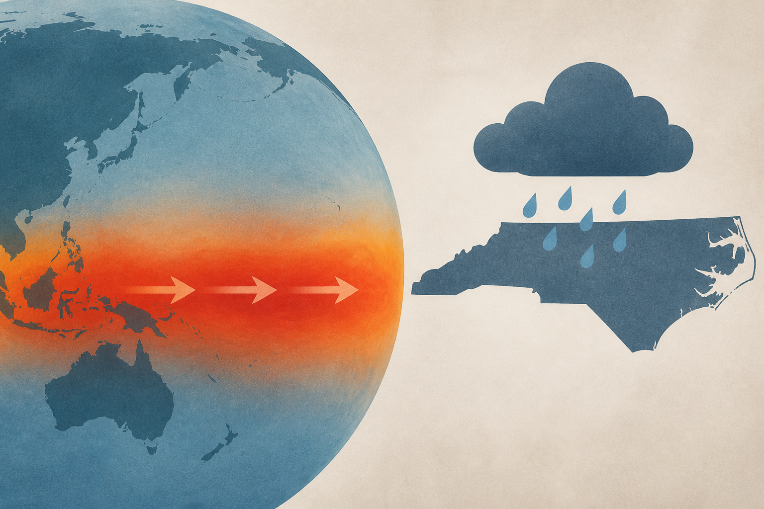
- A "super El Nino," characterized by an unusually intense warming of 3 to 4 degrees Fahrenheit in the tropical Pacific Ocean, has begun developing as of late September 2026, potentially reshaping global weather patterns for months.
- This strong El Nino phase tends to alter atmospheric circulation and jet streams, increasing the likelihood of extreme weather events such as enhanced storminess in some regions and drought in others.
- In the Atlantic, El Nino typically suppresses hurricane formation due to increased wind shear, which aligns with the 2026 season's record of eight tropical storms but no hurricanes so far; however, destructive storms remain possible.
- In the Pacific, El Nino usually promotes more favorable conditions for hurricanes, influencing their formation and tracks, as observed this season.
- For North Carolina, a super El Nino often brings wetter and milder early winters with increased chances of coastal flooding and severe weather, while snowfall can be highly variable, and unsettled, wet conditions may extend into early spring.


