AI Generated Image
Super El Niño Drives an August Weather Shift as Fall and Winter Signals Strengthen
Severe Weather Europe • • world
Key Points:
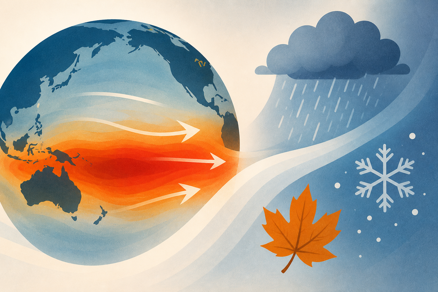
- A powerful Super El Niño is rapidly developing in the tropical Pacific, projected to reach record intensity by late Fall and early Winter 2026/2027, with significant atmospheric impacts already visible.
- July 2026 weather patterns in North America and parts of Europe are closely matching past strong El Niño events, with warm anomalies over the US and Canada and a high-pressure blocking pattern over northern Europe.
- The strong El Niño is driving an atmospheric standing wave, locking in rising air over the central and eastern Pacific and sinking air over the Indian Ocean, which will intensify through August and into Fall and Winter.
- Forecasts for Fall 2026 indicate amplified Pacific jet stream activity, leading to increased precipitation in the southern US and warmer temperatures across much of Europe, with a split-flow jet stream pattern expected in Winter 2026/2027.
- Winter outlook suggests a southward-shifted storm track across the US, warmer conditions in Canada, and increased cold air intrusions into the central and eastern US, consistent with the impacts of an extreme Super El Niño event.


