AI Generated Image
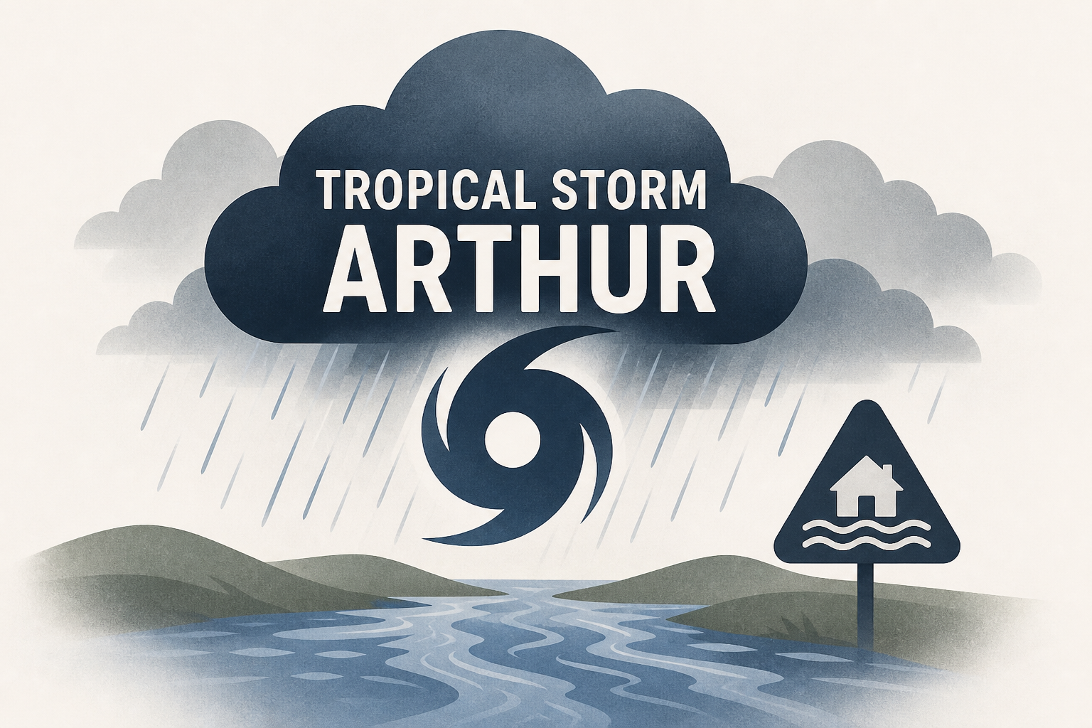
Tropical Storm Arthur becomes first named storm of the season, bringing flash flood threats
NBC News • • nation
Key Points:
- Tropical Storm Arthur, the first named storm of the hurricane season, is bringing heavy rainfall and the risk of life-threatening flash flooding to southeastern states, with wind speeds around 45 mph and rainfall totals expected to reach up to 20 inches in some areas.
- The highest flash flood risk over the next three days extends from Lake Charles, Louisiana, to Montgomery, Alabama, with Mobile, Alabama, anticipated to receive the most rain.
- The potential for flash flooding depends on the storm's speed, as stationary rainfall could exacerbate flooding, especially in areas with already saturated soils after recent rains following a prolonged drought.
- Despite heavy rain affecting parts of Texas and disruptions to some World Cup events, such as Houston’s FIFA Fan Festival cancellation, major impacts on the games themselves are not expected.
- NOAA forecasts a relatively mild hurricane season with 3 to 6 hurricanes and 8 to 14 named storms, influenced by an El Niño pattern that suppresses Atlantic hurricane formation, though warm sea surface temperatures still allow for storm development like Arthur.


