AI Generated Image
UN votes to endorse new map projection that shows Africa's size more accurately
CBS News • • general
Key Points:
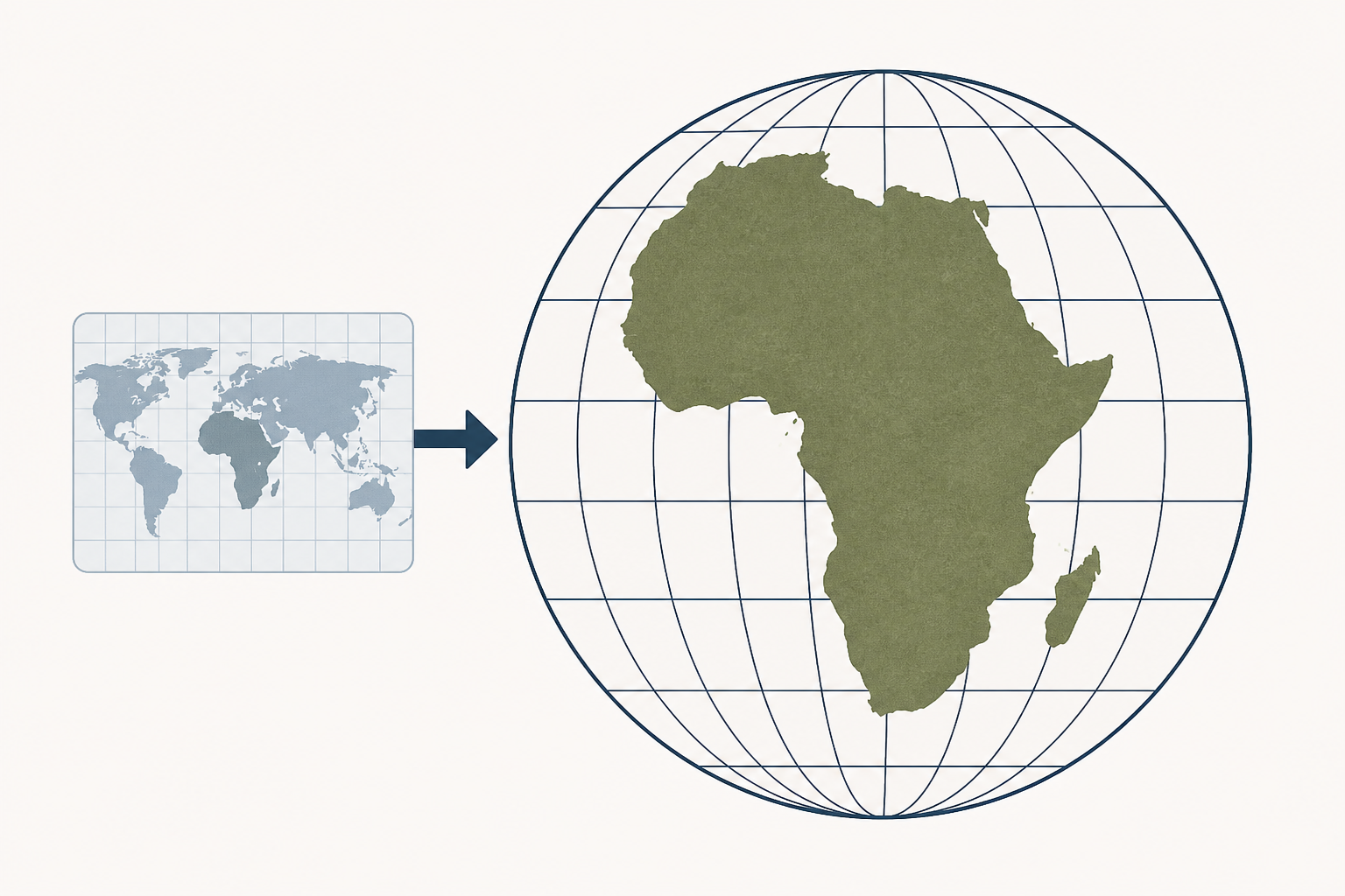
- The United Nations General Assembly endorsed a new world map using the Equal Earth projection, which more accurately represents Africa's size compared to the traditional Mercator map, with 164 countries voting in favor.
- The resolution, sponsored by Togo and supported by the African Union, encourages but does not mandate governments and institutions to replace the Mercator map, commonly used since the 16th century, with the Equal Earth projection.
- The Equal Earth projection shows Africa as 14 times larger than Greenland, correcting distortions present in the Mercator map, which exaggerates areas near the poles and minimizes the size of continents like Africa and South America.
- Advocates and African countries praised the resolution, emphasizing the importance of accurate maps in education, media, and public perception, while some countries, including the U.S., opposed or abstained from the vote.
- Experts note that the Mercator map was designed for navigation and is now considered misleading for general use, with the Equal Earth projection providing a truer representation of the Earth's continents.


