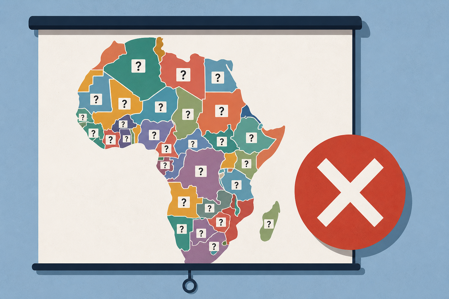
AI Generated Image
US government map of Africa mislabels every country at global conference
The Guardian • • world
Key Points:
- A US State Department presentation at the Aids 2026 conference in Brazil featured a map of Africa that mislabeled every country, causing widespread criticism and social media sharing.
- The erroneous map, which appeared to be created using OpenAI tools, showed major geographic inaccuracies such as Nigeria being landlocked and Mozambique relocated to the Horn of Africa.
- The State Department took full responsibility, explaining the map was produced hastily by a team member who altered the slide deck shortly before the event.
- Despite the map error, the department emphasized that the conference discussions were substantive and reaffirmed its commitment to fighting AIDS through the President’s Emergency Plan for AIDS Relief (PEPFAR).
- PEPFAR continues to provide life-saving drugs despite funding disruptions and plans to phase out the program in South Africa, while scaling back spending in prevention and surveillance.


