AI Image
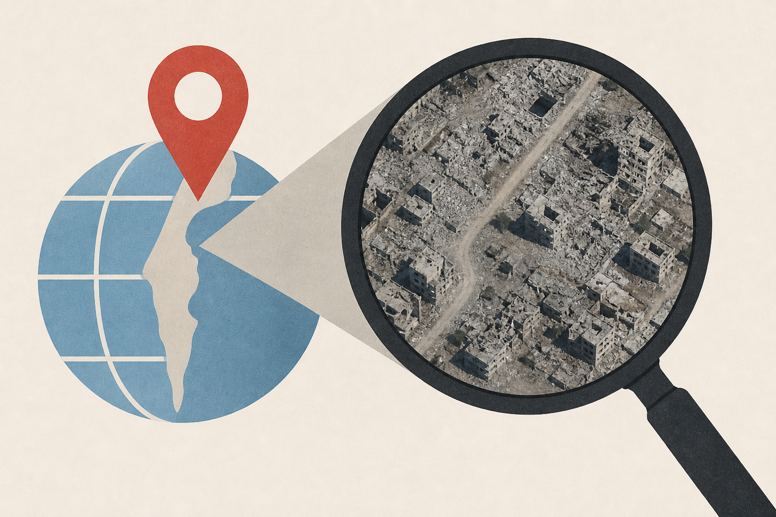
Viral Google Maps Images Shared Widely This Week Show Gaza Ruins. We Obtained More Recent Satellite Imagery
Bellingcat • • world
Key Points:
- Google regularly updates satellite imagery, with the latest Gaza images available since June 2026, contrary to recent viral claims of new updates; earlier social media posts had already analyzed similar imagery months ago.
- Satellite images from Planet Labs reveal ongoing and extensive destruction in Gaza, particularly in Rafah, Bani Suheila, Shujaiya, and Jabaliya, showing increased demolition and new Israeli military outposts as recent as September 2026.
- Comparing imagery from 2024 to 2026 highlights significant damage and razing of entire neighborhoods, with many buildings, including schools, reduced to rubble despite an official ceasefire.
- Israeli authorities state the demolitions aim to "demilitarise" Gaza, while UN data indicates that approximately 82% of Gaza's structures are damaged, with two-thirds destroyed.
- Due to restricted access for international journalists, satellite imagery remains a crucial tool for monitoring the scale of destruction and developments on the ground in Gaza.


