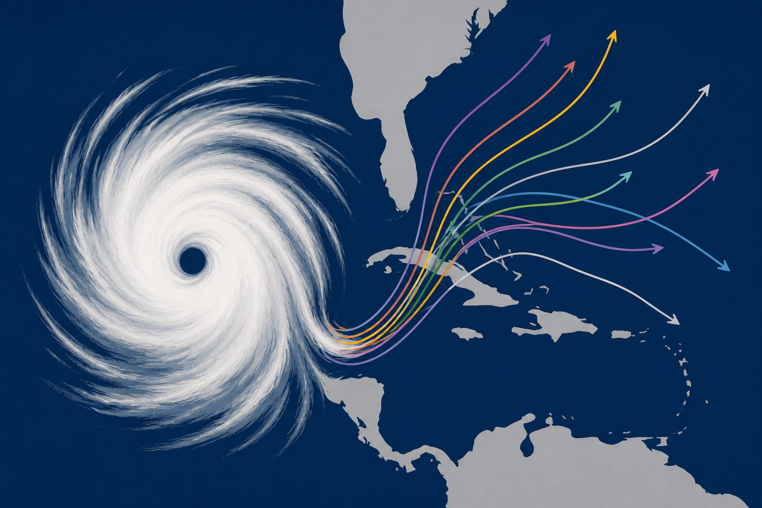
AI Image
Hurricane Polo is Category 5 monster. See tracker, spaghetti models
USA Today • • general
Key Points:
- Hurricane Polo has strengthened to a Category 5 storm with sustained winds of 180 mph and is currently about 280 miles southwest of Cabo Corrientes, Mexico, moving west at 12 mph.
- The storm is forecast to turn northwest and then north over the weekend, before heading northeast to make landfall in Baja California Sur and mainland Mexico early next week.
- Polo is expected to generate dangerous swells along southwestern and west-central Mexico's coasts, causing life-threatening surf, rip currents, and coastal flooding.
- While Polo may weaken starting Saturday, its moisture could bring heavy rainfall and flash flood risks to parts of the southwestern United States, including Texas, New Mexico, and Oklahoma.
- The hurricane's exact impact area in the U.S. will depend on its track, and interaction with a non-tropical storm in the western U.S. could increase the threat of heavy rain and flooding.


