AI Image
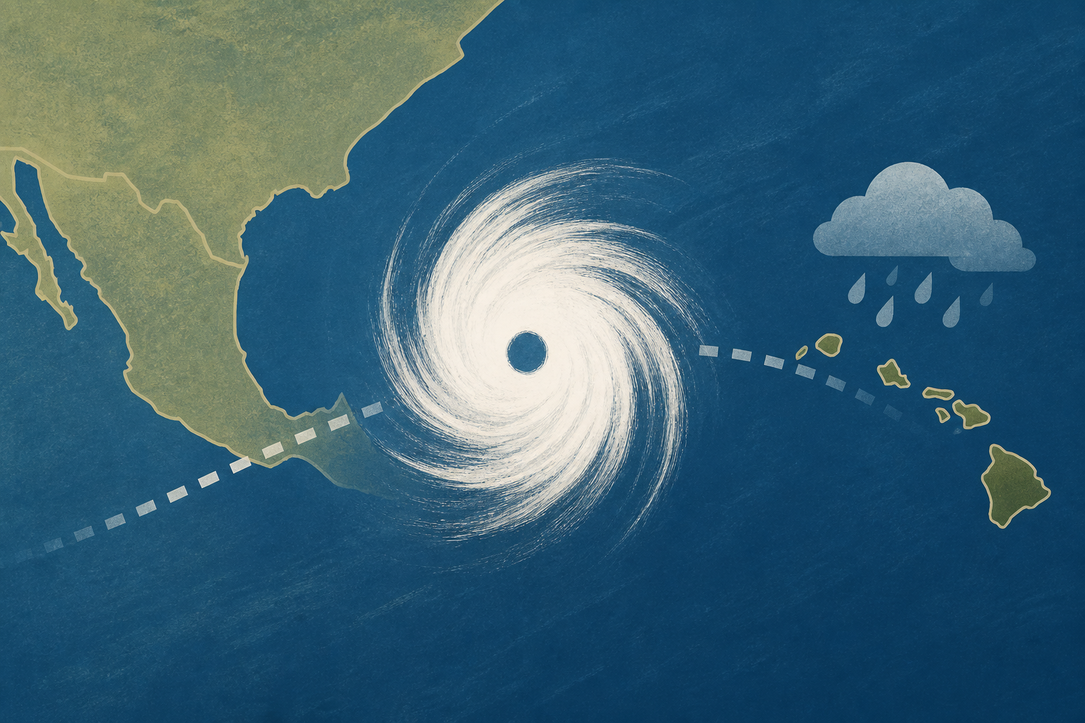
Hurricane Polo nears Mexico as Hawaii braces for possible storm
USA Today • • nation
Key Points:
- Hurricane Polo rapidly intensified into a Category 5 storm with 180 mph winds off Mexico's west coast, marking the third Category 5 hurricane in the eastern Pacific this season, tying the 1994 record.
- Tropical Storm Odalys may interact with Polo through the rare Fujiwhara effect, where two storms rotate around a common center, potentially causing unpredictable storm paths and intensities.
- Hawaii faces potential impacts from the remnants of Tropical Depression Fifteen-E, with a 70-90% chance of redevelopment and forecasts indicating heavy rain and gusty winds for the Big Island starting September 23.
- Moisture from Hurricane Polo is expected to bring significant rainfall to New Mexico, with forecasts of 3 to 4 inches on average and isolated areas potentially receiving over 5 inches through Friday.
- The Pacific basin remains highly active due to a strong El Niño, contrasting sharply with a quiet Atlantic hurricane season that has seen no hurricanes and only six weak tropical storms so far.


