AI Image
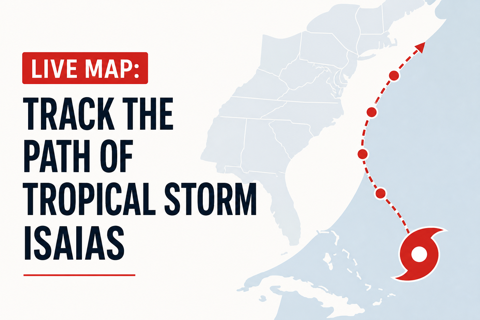
LIVE MAP: Track the path of Tropical Storm Isaias
PBS • • general
Key Points:
- Tropical Storm Isaias formed off eastern Mexico and is expected to strengthen into the first hurricane of the Atlantic season before reaching the U.S. Gulf Coast later this week.
- The storm is currently located about 285 miles west of Progreso, Mexico, with sustained winds of 40 mph, moving east-northeast at 8 mph.
- Forecasts predict Isaias could make landfall between eastern Louisiana and the western Florida Panhandle late Friday or early Saturday, prompting warnings for residents to prepare for dangerous winds and storm surge.
- Florida Governor Ron DeSantis declared a state of emergency for 25 counties in the Panhandle and Big Bend regions to facilitate emergency response and resource deployment.
- The storm is expected to bring heavy rain to the Gulf Coast and Southeast U.S., occurring amid an unusually quiet Atlantic hurricane season influenced by a strong El Niño, which has suppressed storm formation in the Atlantic.


