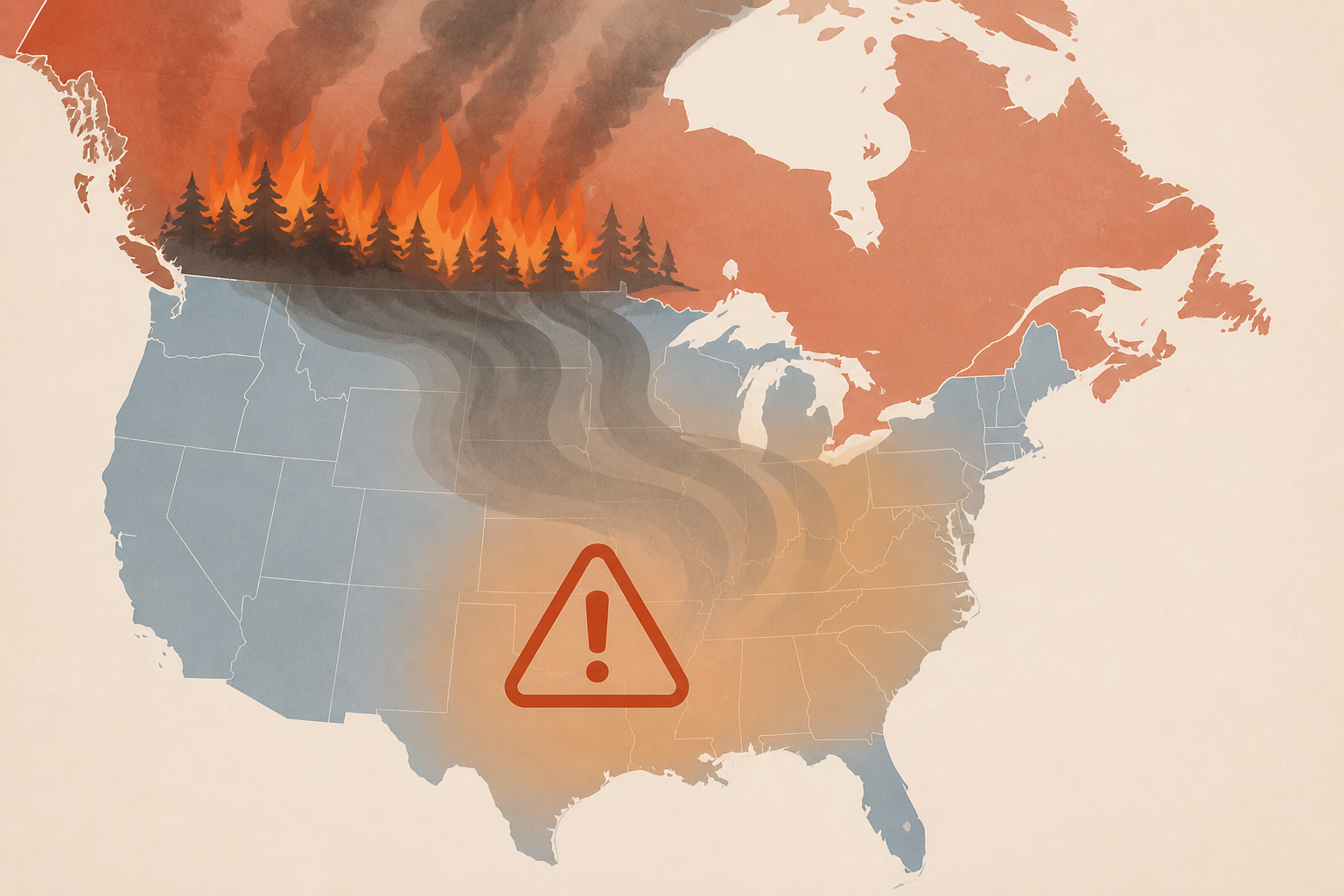
AI Generated Image
Map Shows Where Millions of Americans At Risk as Canadian Wildfires Explode
Newsweek • • nation
Key Points:
- Massive wildfires in British Columbia, Canada, have led to a provincial state of emergency and forced the evacuation of over 20,000 residents, with the Bald Range wildfire rapidly expanding amid hot, dry, and windy conditions.
- Smoke from Canadian wildfires is drifting into the United States, affecting air quality across multiple regions including the Midwest, Great Lakes, Northeast, and Mid-Atlantic, prompting air quality alerts in over a dozen states.
- The National Weather Service has issued advisories for unhealthy or very unhealthy fine particulate pollution levels in cities such as Denver, Spokane, Boise, Missoula, and Jackson, posing health risks especially to vulnerable populations like children, older adults, and those with respiratory or cardiovascular conditions.
- Approximately 1,500 firefighters are battling more than 100 active fires in British Columbia, with the wildfire season affecting multiple Canadian provinces and having burned nearly 3.9 million hectares so far in 2024.
- Officials continue to monitor wildfire activity and wind patterns as smoke poses a significant threat to air quality for millions of Americans, even far from the fire zones.


