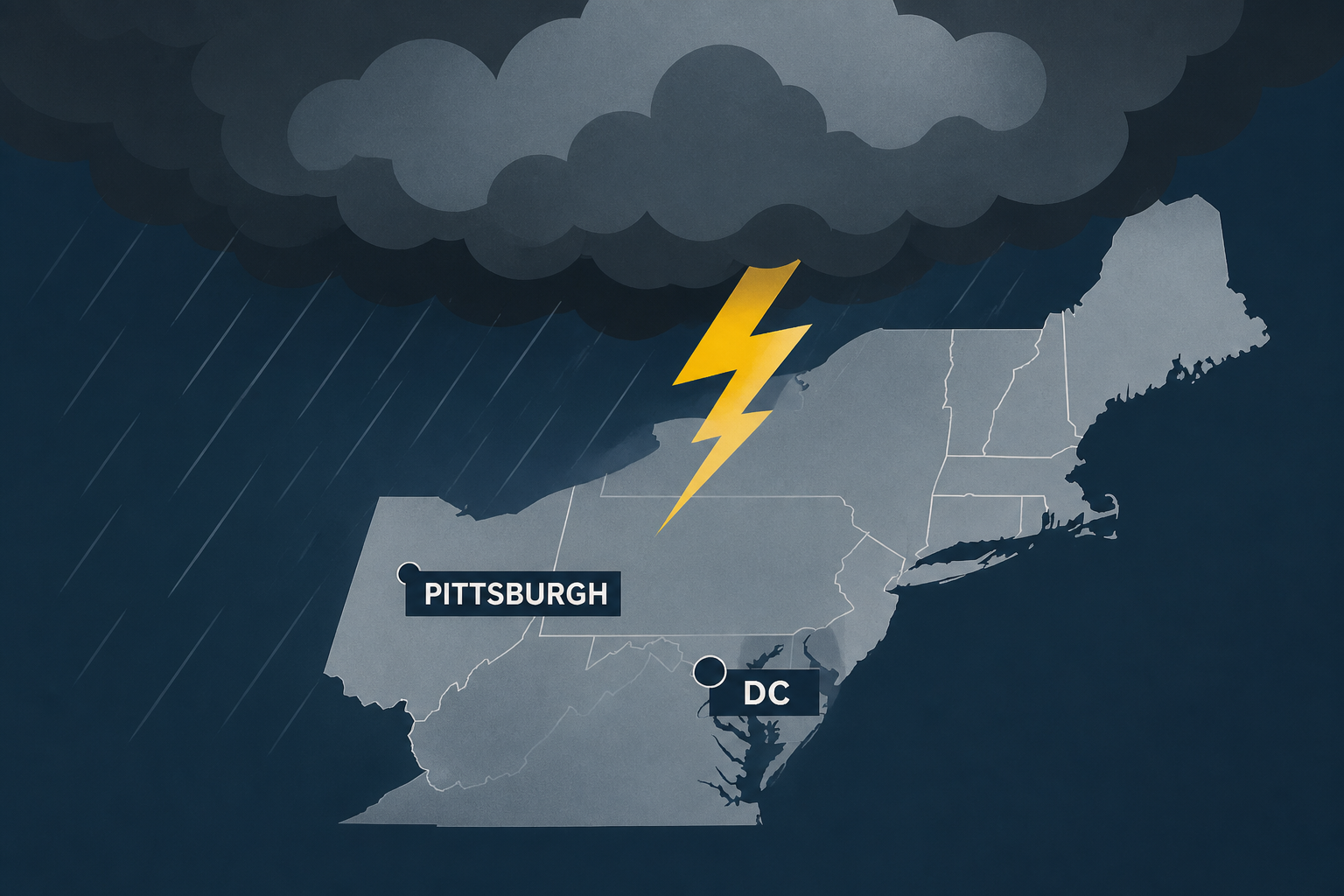
AI Generated Image
Northeast severe storm threat, includes DC, Pittsburgh
The Weather Channel • • nation
Key Points:
- A fast-moving belt of stormy weather is impacting the Northeast and mid-Atlantic, with threats of hail, damaging winds, and possible tornadoes continuing through the next few days.
- Severe thunderstorms are most likely today from the upper Midwest into the mid-Atlantic, featuring multiple storm clusters moving through the region into early Friday morning.
- The primary hazards include damaging wind gusts capable of downing trees and power lines, with large hail possible particularly in the upper Midwest, where some hail could exceed golf ball size.
- A few tornadoes are possible, with one or two potentially strong, mainly in the upper Midwest area.
- By Friday, the severe weather threat is expected to shift southward into southern Virginia, West Virginia, and North Carolina.


