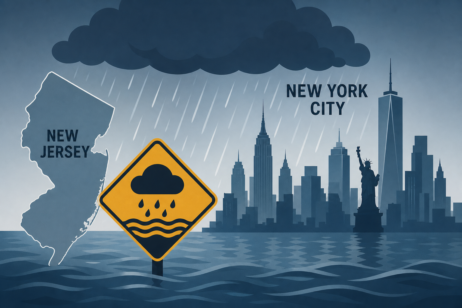
AI Generated Image
NYC and New Jersey Brace for Heavy Rain and Flooding: Latest Forecast
The New York Times • • nation
Key Points:
- The National Weather Service has issued a warning for multiple rounds of thunderstorms between late Sunday and early Tuesday, with potential for significant flash flooding in the region.
- The highest risk areas include northern and coastal New Jersey, southeast New York (including New York City and Long Island), southern Connecticut, southern Rhode Island, and parts of southeast Massachusetts.
- Storms in these areas may "train," meaning they repeatedly pass over the same locations, potentially resulting in widespread rainfall of three to six inches, with isolated spots receiving eight inches or more.
- Further west, from Pennsylvania to the Washington, D.C. area, storms are expected to be more scattered but may still produce intense downpours with rainfall rates up to two inches per hour.
- Forecasters indicate less uncertainty about storm locations and durations in the western region, though heavy rain and flash flooding remain possible.


