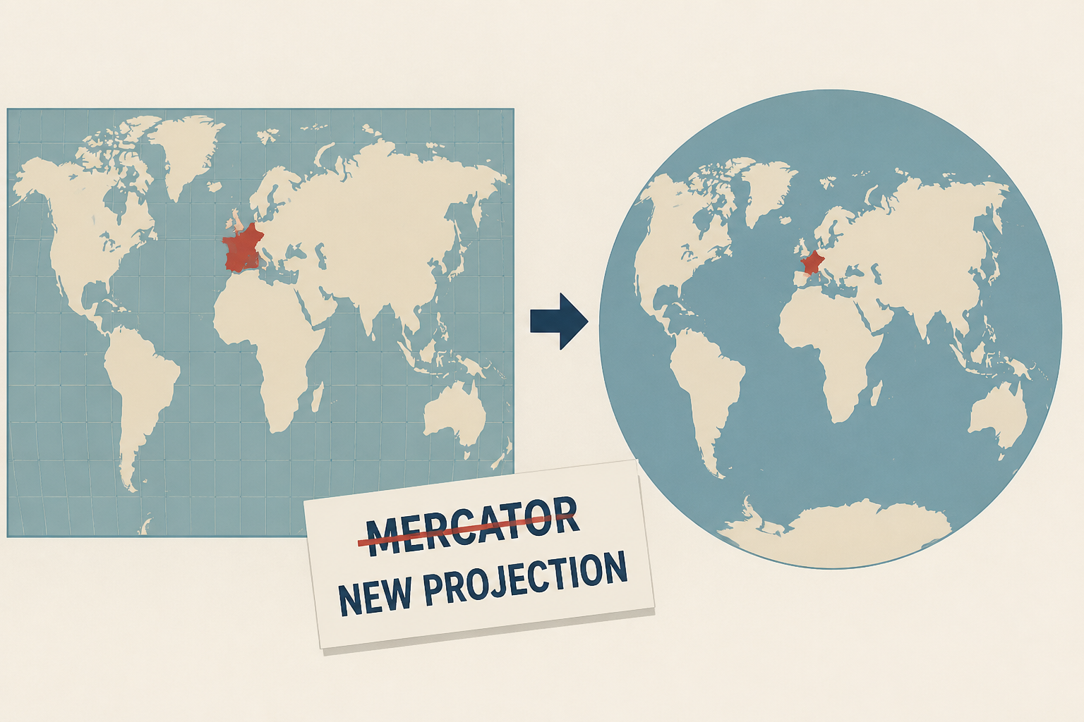
AI Generated Image
Paris drops Mercator projection: France now looks smaller on world maps
euronews.com • • nation
Key Points:
- France's Foreign Ministry, led by Jean-Noël Barrot, is replacing the Mercator projection with the Eckert IV projection for diplomatic maps to better reflect the true proportions of continents, reducing the exaggerated size of polar regions and enlarging equatorial areas like Africa.
- The Mercator projection, widely used since the 16th century, distorts sizes, making countries like the US, Russia, and Greenland appear disproportionately large compared to equatorial regions, which the new projection aims to correct as an "act of truth."
- The transition away from Mercator began in 2021 and is being phased in gradually across public diplomacy platforms, although Mercator remains in limited use for navigation and some regional maps near the equator.
- This move aligns with a recent UN General Assembly resolution, supported by 164 countries, encouraging the use of equal-area projections like the Equal Earth model to address cartographic distortions; the US opposed the resolution, calling it a "radical ideological project."
- Despite these changes in diplomacy, most French schools still use Mercator maps, and it remains uncertain if educational materials will adopt the Eckert IV or other equal-area projections in the near future.


