AI Generated Image
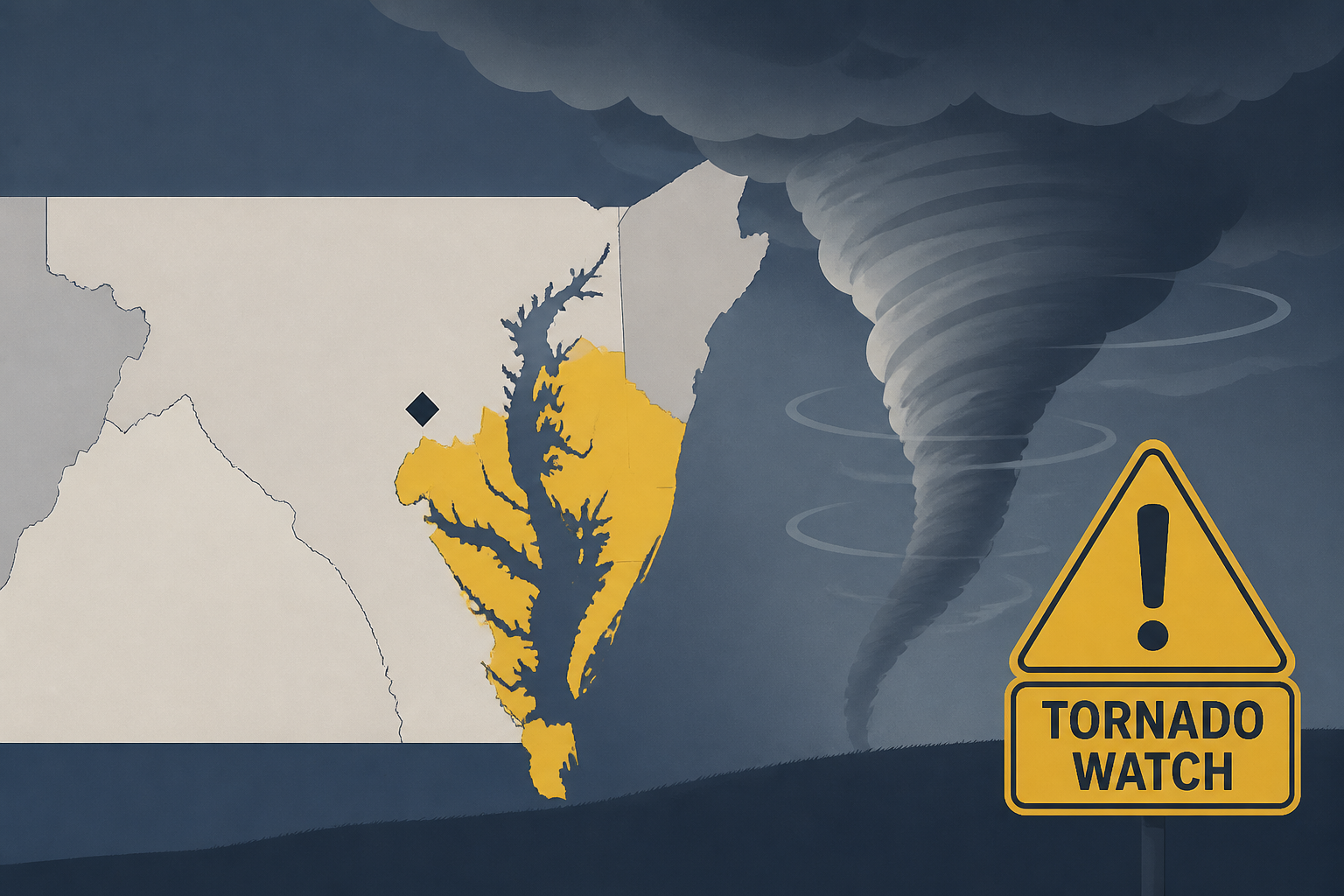
Tornado watch south and east of DC until 10 p.m.
Capital Weather • • nation
Key Points:
- The severe thunderstorm watch and much of the tornado watch were cancelled early, but a tornado watch remains in effect until 10 p.m. for Stafford, Charles, Calvert, and St. Mary’s counties, with storms expected to end around 8:30 p.m. there.
- Scattered showers and thunderstorms are expected this afternoon and evening, with some storms potentially becoming strong to severe, producing damaging winds of 55 to 70 mph and a slight risk of tornadoes.
- The highest risk for severe weather and tornadoes is along and east of Interstate 95, especially from northern Anne Arundel County into Baltimore and east toward southern New Jersey, with a Level 2 out of 5 risk in this area.
- Storm development is fueled by a combination of a warm front, an approaching atmospheric disturbance, strong wind shear, and a cold front, with sunnier areas more prone to severe storms.
- There is a minor risk of flash flooding northeast of DC toward Baltimore where multiple storms could pass over the same area, but overall storm coverage is lower than initially expected.


![Google Pixel screen savers add new styles, swipe gesture [Gallery]](https://media-cdn.cashwalklabs.io/https%3A%2F%2Fs3.us-west-2.amazonaws.com%2Fimages.cashwalklabs.io%2F0_admin%2Fnews-ai-images%2F01a020c8-02ff-7739-94ec-8cdc8c008429.webp?format=webp&w=120&h=80)


