AI Generated Image
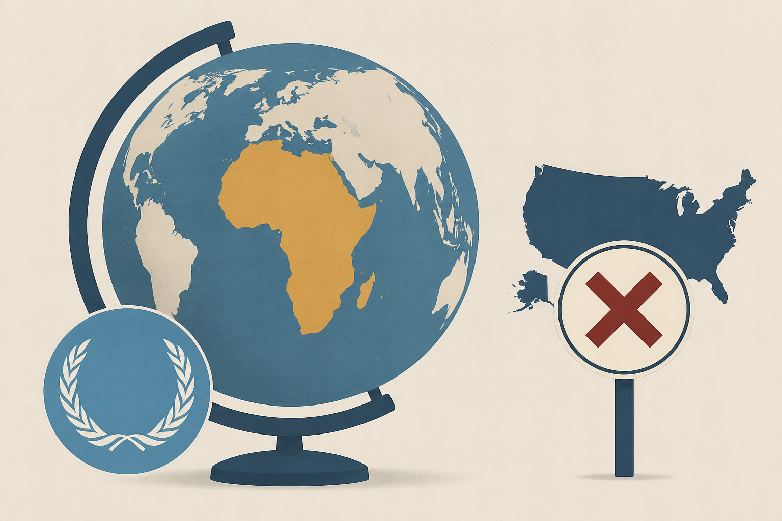
UN adopts Equal Earth map showing Africa's true size, US dissents
Fox News • • nation
Key Points:
- The United Nations General Assembly nearly unanimously adopted a resolution endorsing the Equal Earth map projection, which more accurately represents Africa's size compared to traditional maps, with the United States as the sole opposing vote.
- Six countries abstained from the vote, including Estonia, Georgia, Lithuania, Moldova, Serbia, and Ukraine, while the U.S. criticized the resolution as part of a "radical ideological project" rather than a simple cartographic update.
- The resolution, introduced by Togo on behalf of the African Group, aims to promote maps that preserve true continental proportions, fostering greater understanding and respect among nations without mandating the abandonment of the Mercator projection.
- The Mercator projection, created in 1569 and widely used in education and online mapping services like Google Maps, distorts landmass sizes by enlarging areas near the poles and shrinking those near the equator, making Africa appear smaller relative to other continents.
- Although the Mercator projection remains popular for digital navigation due to its smooth zooming capabilities, the UN's endorsement of equal-area maps signals a shift toward more geographically accurate representations.


