AI Generated Image
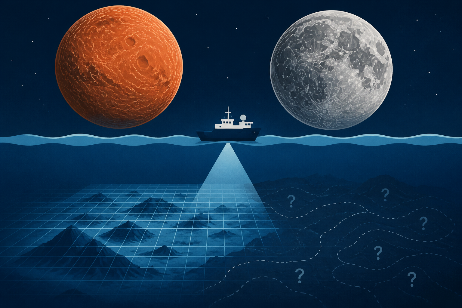
We have more accurate maps of the surface of Mars and the Moon than of the floor of our own ocean — less than a third of the seabed has been measured in real detail, meaning most of the largest landsc
Space Daily • • health
Key Points:
- As of April 2026, only 28.7% of the world's ocean floor has been mapped to modern standards, equating to about 104 million square kilometers, with nearly 5 million square kilometers added in the past year, according to the Nippon Foundation-GEBCO Seabed 2030 Project.
- Unlike the Moon, Mars, and Venus, which have been comprehensively mapped by single spacecraft missions using laser altimetry, Earth's ocean floor mapping is hindered by the opacity of seawater, limiting the use of satellite-based radar and laser methods.
- Ship-based sonar remains the primary tool for detailed seabed mapping but is extremely time-consuming, with estimates suggesting a single vessel would need centuries to cover the entire ocean floor adequately.
- Satellite gravity measurements, such as those from the SWOT mission, have improved indirect mapping by detecting seafloor mass anomalies, enhancing resolution to about 8 kilometers and potentially doubling the known number of seamounts.
- To meet Seabed 2030's goals, future progress depends on increased crowdsourced data from commercial vessels, autonomous survey craft, and the release of proprietary industry data, as traditional ship surveys alone cannot close the mapping gap within the desired timeframe.


