AI Image
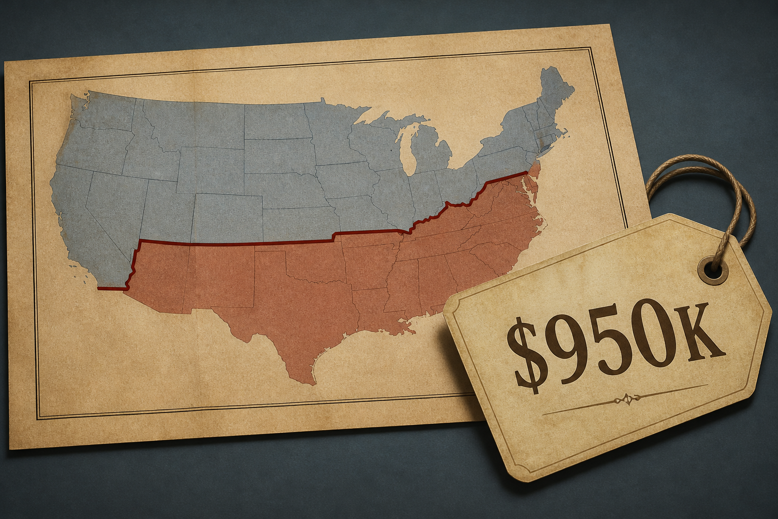
Original Map of Line That Divided America Sold for $950K
Newser • • nation
Key Points:
- The map delineating the boundary between Pennsylvania and Maryland, originally created to resolve a colonial land dispute between the Penn and Calvert families, later symbolized the division between North and South and free and slave states.
- The map was held by attorney Benjamin Chew, who represented the Penn family, and remained in the Chew family’s possession until 1982, when Malcolm Forbes purchased it for $360,000, setting a record for an American map at the time.
- The map was sold again in 2002 for $556,000, with auction house vice president Lauren Brunk notifying the Library of Congress about the sale, but the institution was unable to purchase it due to budget constraints.
- The map was long mistaken for a print until it was identified as an original in 1963, highlighting its historical and monetary significance.


